Observation: Hogum

Observation Date
4/14/2018
Observer Name
Trent Meisenheimer, Bruce Meisenheimer, Mark Staples
Region
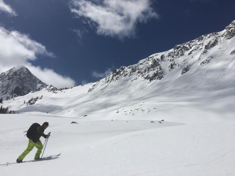
Salt Lake » Little Cottonwood Canyon » Hogum
Location Name or Route
Maybird
Weather
Sky
Scattered
Weather Comments
Air temps stayed cool. It felt a little cold when the sun went behind clouds. Felt hot when it came out.
Snow Characteristics
New Snow Depth
6"
New Snow Density
Low
Snow Surface Conditions
Powder
Dense Loose
Wind Crust
Rain-Rime Crust
Damp
Snow Characteristics Comments

I go to Hogum every year and this year is by far the shallowest I've ever seen. The new snow was roughly 6-10" deep on top of a stout rain crust. In places the wind had stripped the snow to the ice making the steep terrain scary. I wouldn't recommend heading to Coal Pit or the Needle with out experiance in steep icy conditions. The exit out of Hogum was intertaining to say the least. The best riding was in the lower angled aprons.

Red Flags
Red Flags
Rapid Warming
Red Flags Comments
Roller balls and small class 1 point release avalanches were the theme of the day. With only 6 to 10 inches of new snow back in Hogum I don't expect large wet slides for the time being.
Avalanche Problem #1
Problem
Wet Snow
Problem #1 Comments

Saw lots of roller balls but only a few wet loose slides. This will be the main issue on Sunday with much warmer air temps.

Comments

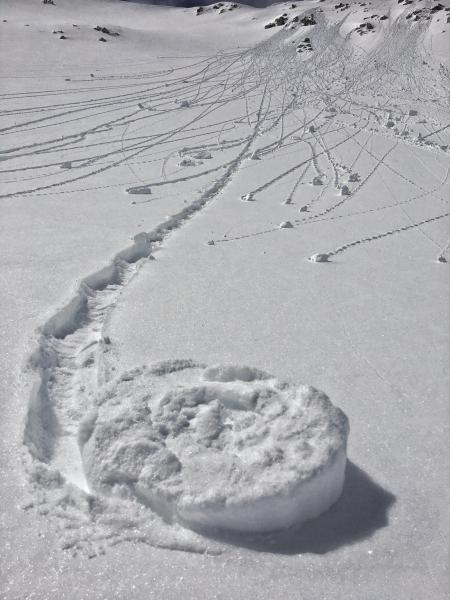
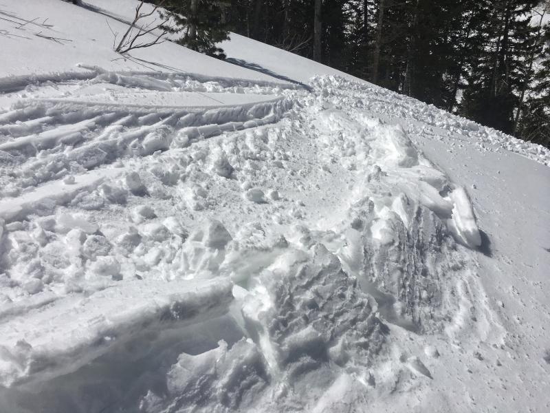
Photo below of very minor roller balls on an East aspect but then clouds came back and warming on East aspects stopped.

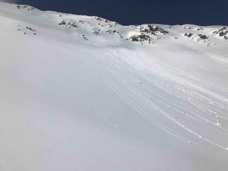
First photo: East aspect starting to warm at 11:00 am. Second Photo: Close up of why we call these rollerballs/pinwheels. Seeing more and more of these rolling down hill indicates the snow is warming and wet loose slides may start happening.

Clouds lingered over LCC for much of the day and limited wet loos avalanche activity.

The new snow on a West aspect was getting wet and skiing conditions deteriorated quickly.

Today's Observed Danger Rating
Moderate
Tomorrows Estimated Danger Rating
Moderate