
Observation Date
4/14/2018
Observer Name
mark white
Region
Salt Lake » Little Cottonwood Canyon
Location Name or Route
South facing LCC
Comments
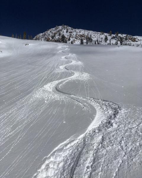
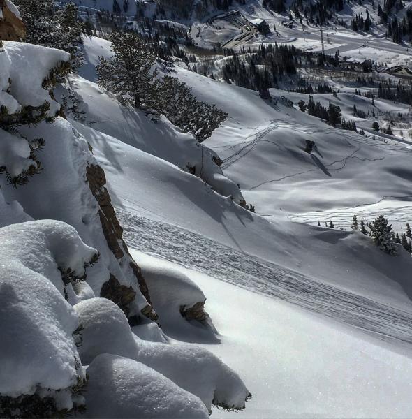
The new snow and wind slabs from the last two days seemed fairly glued in place today and sluffing of the surface snow was minimal, in the terrain covered. Due to clouds and a cool breeze from the NW the S facing aspects lasted longer than expected providing good skiing until about 11:00AM. I would think E, SE, S,SW and W would have some sort of crust on it tomorrow, and high elevation N aspects would still have dry snow in the AM. The wet activity may be on the rise tomorrow with sunny skies and a warm wind from the S, and warmer temperatures forecasted.
Photos: the snow surface just staring to become damp on due S around 10:30AM, minor sluffing caused by the heating up of rocks shedding snow.
Today's Observed Danger Rating
Moderate
Tomorrows Estimated Danger Rating
Moderate


