Afternoon outing to Cardiff Fork from Alta. Front came through about 2 pm with a period of increasing winds and heavy snowfall rates that easily filled in skin tracks. Was especially curious how any snow on top of the weekend rain crust would now be bonded. On Sunday the bond was very poor, and there were several small avalanches running on the crust, notably on lower-angled slopes (~20-25 degrees). The warm temps the past few days - where many mountain stations remained above freezing for nearly 48 hours - have helped the graupel layer from Sunday bond to the slick ice crust.
Most stability tests today were getting avalanching within the storm snow and above the crust. However, on a SE aspect at ~9700' a small slide ran on the crust. On another SE aspect at 10,000' a ski cut triggered a pocket of storm snow that initially ran within the storm snow, but stepped down to the crust.
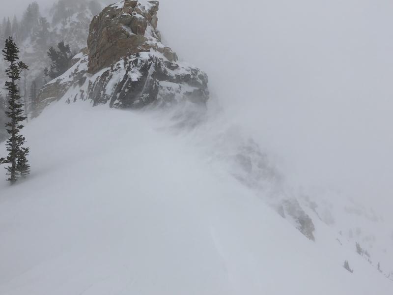
Photo and video of wind along ridgelines.
Video
Instabilities within the dense storm snow will rapidly settle out, but forecasted winds overnight will continue to drift snow. Overall Moderate hazard with possible areas of Considerable at the upper elevations that have been wind loaded.