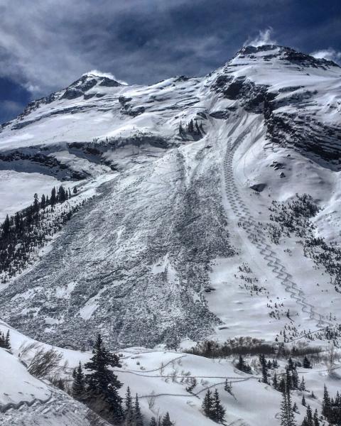
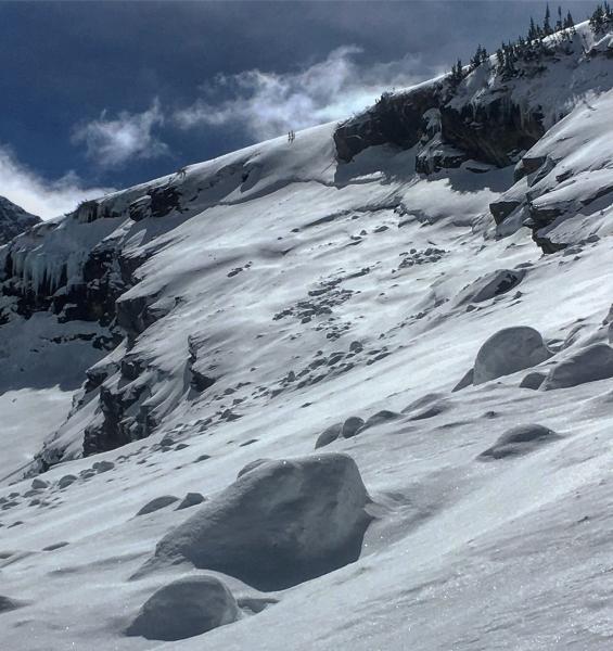
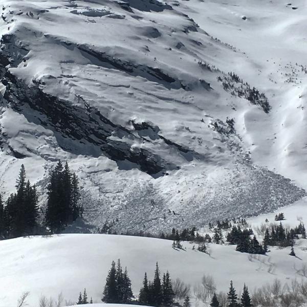
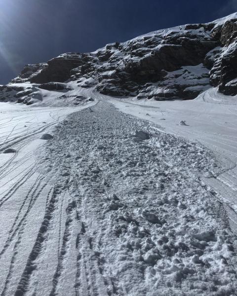
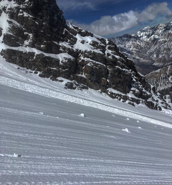
Wanted to get a look at Broads Fork after our high elevation rain event last week, I was pretty sure there was some glide action that took place but not to the extent that actually happened. The NE and E pretty much came unglued with wet slabs and glide avalanches. There was a massive glide avalanche that triggered a deep wet slab on the Diving Board taking out the whole seasons snow-pack I put that one on the avy list. There were also glide avalanches on the upper Blue Ice that triggered a slide into old snow when it came off the cliffs, another glide avalanche was noted between the Diving Board and Bonkers that also left a large debris pile. There also looked to be a wind slab avalanche under O'Sullivan. Seemed to me the only usual suspect for Glide Slides that didn't run was the one on NE facing Bonkers. There was some wet activity today in the form of point releases mostly on the SE facing rocks, and the west facing.
Photos: Diving Board avalanche, glide slides on the Blue Ice and between Bonkers and the Diving Board, wet activity from today.