Observation: Central Bear River Range

Observation Date
3/26/2018
Observer Name
Toby Weed
Region
Logan » Central Bear River Range
Location Name or Route
Top of Bear River Range
Weather
Sky
Overcast
Precipitation
Moderate Snowfall
Wind Direction
Northwest
Wind Speed
Moderate
Weather Comments
A few squalls with short periods of heavy snow. Also periods with very nice light and good visibility.
Snow Characteristics
New Snow Depth
18"
New Snow Density
Low
Snow Surface Conditions
Powder
Snow Characteristics Comments

Only an inch or two of new snow at the trailhead, a little less than a foot capping Friday's rain-crust at 8200', and 18 to 20" very nice powder above 9000'.

Red Flags
Red Flags
Recent Avalanches
Heavy Snowfall
Wind Loading
Avalanche Problem #1
Problem
New Snow
Trend
Same
Avalanche Problem #2
Problem
Wet Snow
Trend
Increasing Danger
Problem #2 Comments

Loose wet sluffs entraining significant piles of warming moist powder will be likely on sunny slopes at upper elevations. Lower elevation slopes have much less new snow and sluff activity will be shallow and minor.

Comments

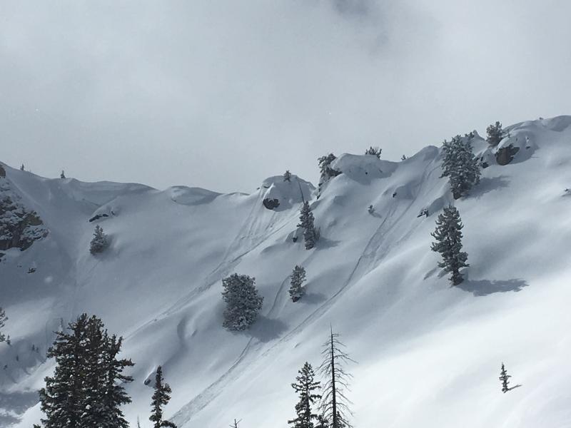
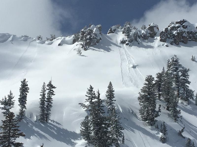
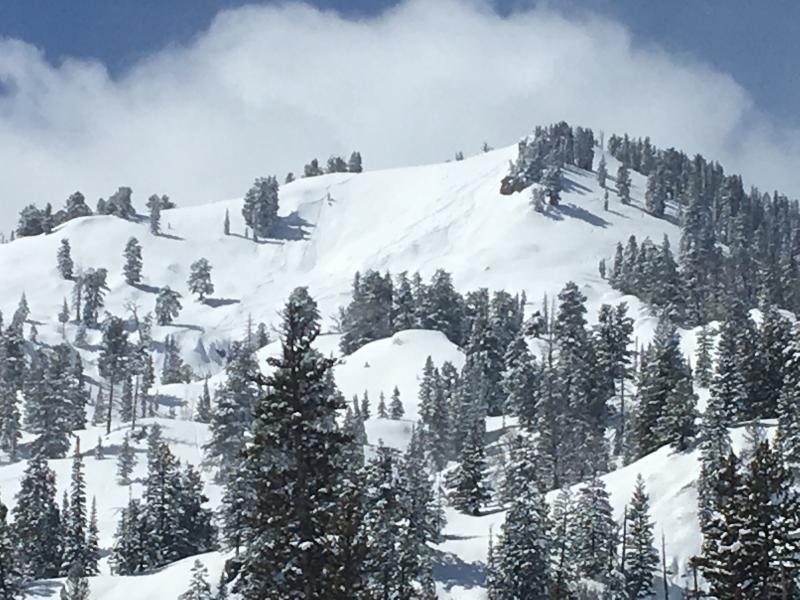
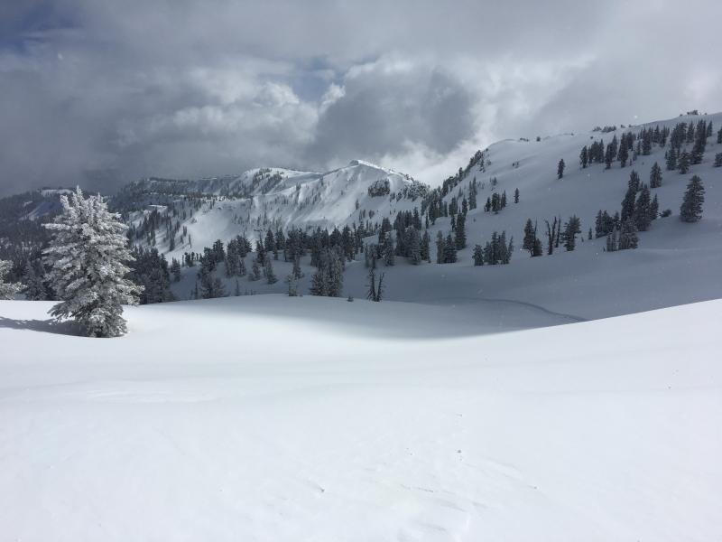
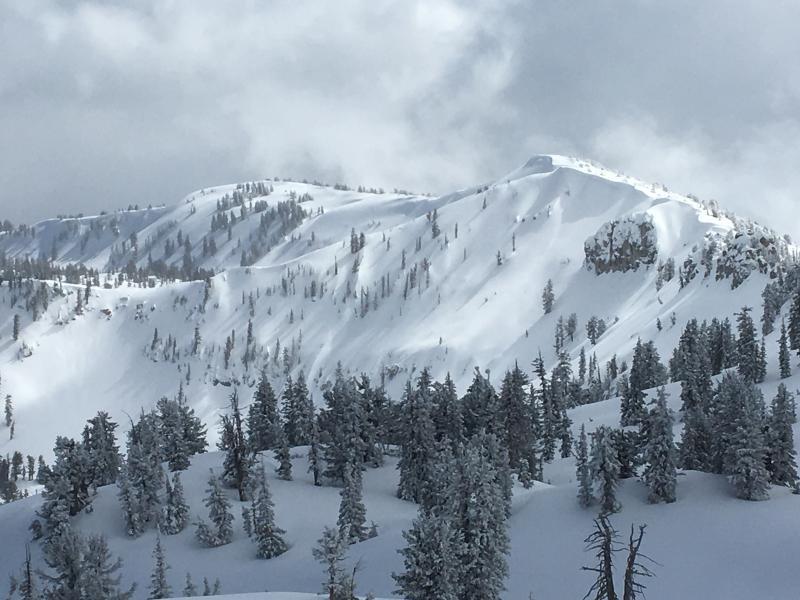
Observed numerous dry sluffs and small wind slab avalanches in the fresh snow on slopes steeper than about 40 degrees at upper elevations.

Really nice powder conditions and good stability at upper elevations. Too bad it's so crowded in the backcountry these days!

Today's Observed Danger Rating
Moderate
Tomorrows Estimated Danger Rating
Moderate