Observation Date
3/23/2018
Observer Name
Weston Deutschlander
Region
Salt Lake
Location Name or Route
Twin Lakes
Comments
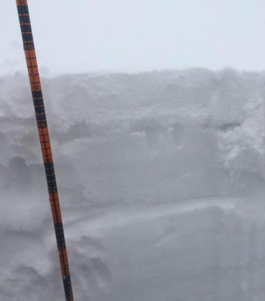
9300ft
SW
6cm new snow
Rain penetrated about 20cm down
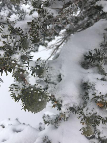
Ice balls on trees=not normal approx 10,000ft
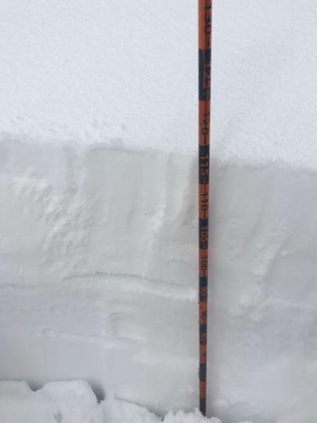
10,300ft
S
23cm new snow
No rain
ECTN 25 failed on start of storm graupel
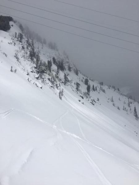
Roller city off Highway to heaven
Today's Observed Danger Rating
Moderate
Tomorrows Estimated Danger Rating
Moderate
Coordinates