Observation Date
3/23/2018
Observer Name
Ted Scroggin
Region
Uintas » Bear River Ranger District » Gold Hill
Location Name or Route
Gold Hill
Weather
Sky
Obscured
Precipitation
Light Snowfall
Wind Direction
Northwest
Wind Speed
Moderate
Weather Comments
Spring like weather with periods of sun, at times light to moderate snowfall, gusty winds and temperatures were mild to cool. Around an inch or two of new snow during the day with 4-5" from overnight.
Snow Characteristics
New Snow Depth
5"
New Snow Density
High
Snow Surface Conditions
Powder
Melt-Freeze Crust
Damp
Snow Characteristics Comments
A couple wet inches at the trail head this morning and around 4-5" of medium to high density snow in Gold Hill Basin. I was half expecting wet unsupportable riding conditions today, but with temperatures that cooled last night and mostly cloudy today the snow held up fairly well till mid afternoon.
Red Flags
Red Flags
Wind Loading
Cracking
Red Flags Comments
Not much new snow, but it is on the heavy wet side and combined with very strong winds, the snow pack has received some added weight which might over load and activate some of the buried weak layers?
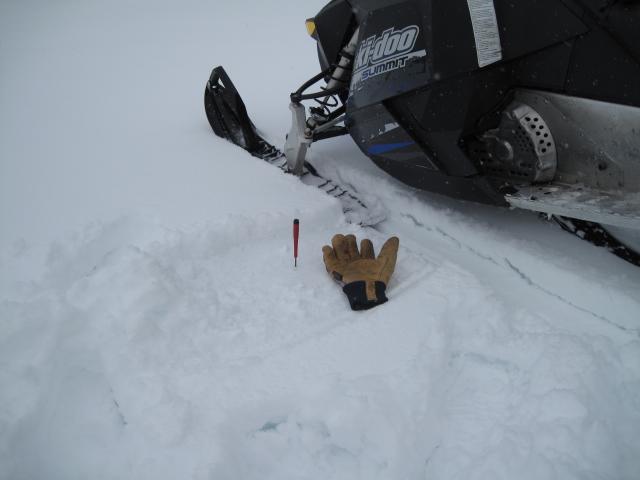
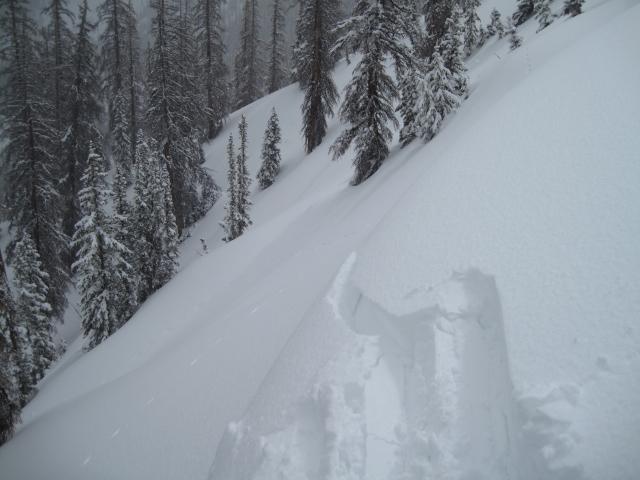
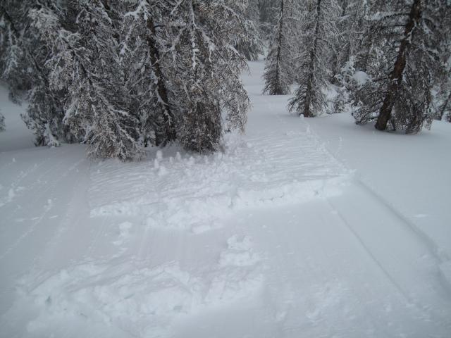
Cornices were a little sensitive today along with wind slabs up to a foot deep that would crack and move downhill entraining the wet snow piling up dense debris.
Avalanche Problem #1
Problem
Wind Drifted Snow
Trend
Decreasing Danger
Problem #1 Comments
The fresh wind slabs were the main issue in my travels, these were somewhat sensitive breaking up to a foot deep and would entrain the new snow as they moved downhill. I would imagine these will settle out quickly and be more stubborn tomorrow.
Avalanche Problem #2
Problem
Persistent Weak Layer
Trend
Same
Problem #2 Comments
The heavy wet snow combined with strong winds have likely stressed some of the buried weaknesses in the shallow snow pack areas. These types of slopes might just need the weight of a person to come along and tip the scales producing a decent size avalanche.
Comments
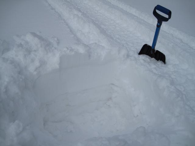
I was finding about 4" of high density snow on a mostly supportable crust this morning riding into Gold Hill. A few more inches higher in the basin and along the ridge lines.
Easy to track the series of storms and warm weather over the last few weeks with a couple shovels of snow.
The fresh wind slabs were breaking up to a foot deep along the Gold Hill ridge line and stacking up some wet heavy debris. These should settle out quickly and less of an issue tomorrow.
Today's Observed Danger Rating
Considerable
Tomorrows Estimated Danger Rating
Moderate