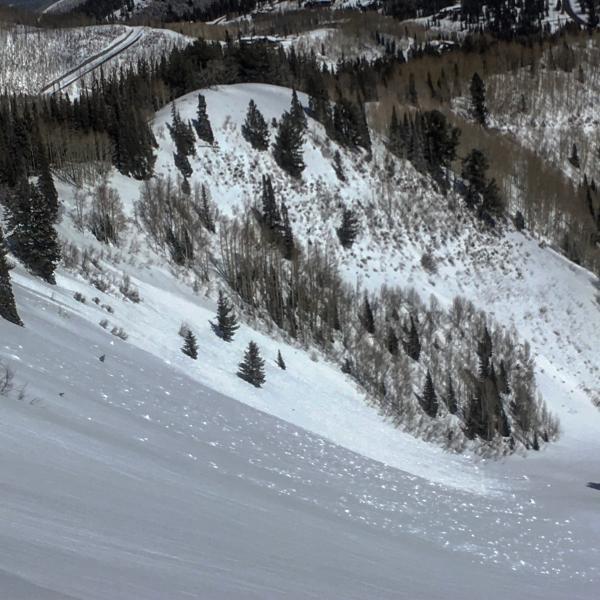
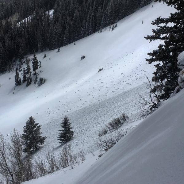
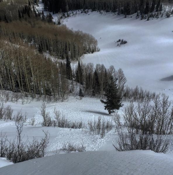
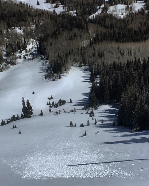
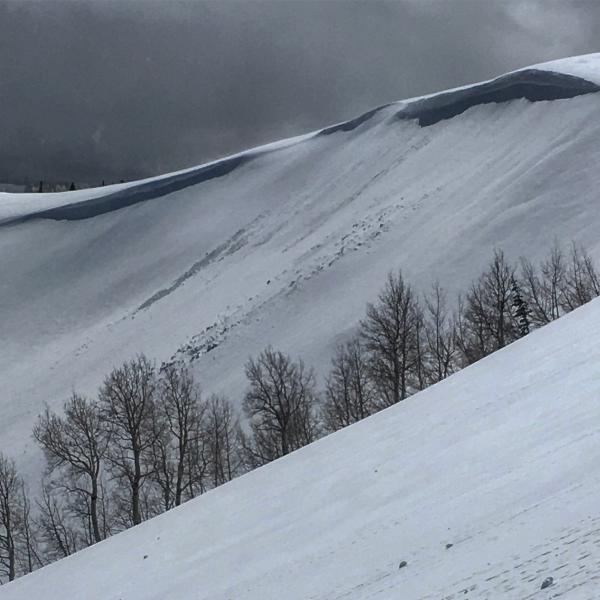
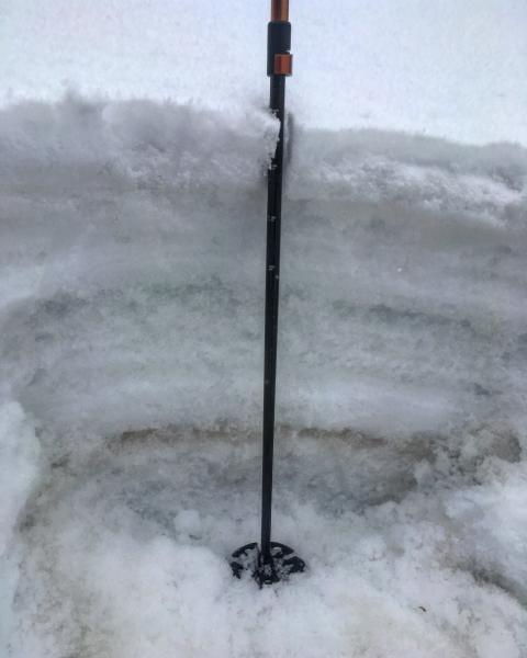
Travel today was up USA Bowl, Scott's Bluff, No Name Bowl and across both S and W Monitor. No Name Bowl which sit around 9600ft had wet activity on the SE facing and also the due N, the due N had some minor roller- balling but revealed that even the N facing had become damp at that elevation, The SE facing seemed to come unglued fairly well with large amounts of wet activity. I did not like the punchy, damp feeling of the snow in the bowl so I left it for the sun to bake. Below 9000ft the snow is saturated all the way through the pack down to the depth hoar at the bottom. Noted natural cornice drops in both W and S Monitor but they did not break into older layering. Both bowls also had wet activity on the E and SE facing portions. Skiing out the S facing went from dense dust on damp crust above 9000ft to punchy and damp below that. Noted some large debris piles in all of the Power House couloirs on the drive down the canyon.
Photos: wet activity in No Name with the last being due N mid slope roller-balls, natural cornice drop in S Monitor, and a saturated layered snow-pack below 9000ft
Today was a tough call on hazard, with all the rain and extra weight I think Considerable was a good over-all call but in the terrain covered I think Moderate was more appropriate.


