Observation: 10420

Observation Date
3/22/2018
Observer Name
Greg Gagne
Region
Salt Lake » Big Cottonwood Canyon » 10420
Location Name or Route
10,420'
Weather
Sky
Obscured
Precipitation
Moderate Rain
Wind Direction
Southwest
Wind Speed
Strong
Weather Comments
Periods of light to heavy rain. Rain transitioned to snow above 9500', with all snow above 10,000'
Snow Characteristics
Snow Surface Conditions
Damp
Snow Characteristics Comments

8500' and below snow surface is slush and wet to the ground where I was looking. Water was running out of the bottom of the snowbanks on the side of the road.

> Snow surface begins to improve above 9000 with top 20 to 30 cms (8 to 12") of snow at the surface damp, with dry snow underneath.

> At 9500' top 20 cms (8") is damp with dry snow underneath.

> Above 10,000' top 5 to 10 cms (2 to 4") is damp with dry snow underneath.

Red Flags
Red Flags
Recent Avalanches
Rapid Warming
Red Flags Comments
Another red flag is rain on snow event to at least 9500'.
Avalanche Problem #1
Problem
Wet Snow
Trend
Increasing Danger
Problem #1 Comments

Below about 9500' very easy to get push-a-lanches in the wet snow at the surface. Saw natural avalanches in steep chutes off of Storm Mountain. These were mostly class 1 and class 2 slides that ran at most an estimated few hundred feet.

Avalanche Problem #2
Problem
Persistent Weak Layer
Trend
Increasing Danger
Problem #2 Comments

There may be enough of a load of water to tip the scales and make deep slabs reactive by Friday. These would be in areas outside of the upper Cottonwoods where there is a thinner snowpack (i.e. Park City ridgeline), steep rocky terrain, as well as slopes that have already slid.

Comments

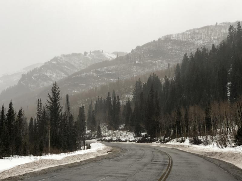
Afternoon tour up 10,420'. Enjoyed rain to about 9500' where it slowly transitioned to all-snow at 10,000'

Am currently thinking this storm may have more of an affect at the mid elevations:

- low elevations have lost a lot of snow from recent warmth, wind, and today's rain.

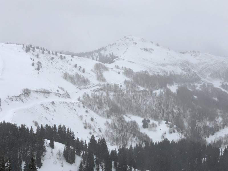
- upper elevations (> 9500', especially closer to 10,000') have generally solid snowpack, certainly in the Cottonwoods. Where I was digging today on 10,420' in Big Cottonwood Canyon stations reported about 1" of water. Snowpack was not reactive to this load with ECTX in a few pits.

Mid elevations (8 - 9500') have enough snow to create larger avalanches, and the snow was damp or wet well down within the snowpack.

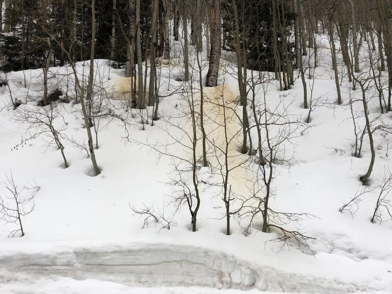
Photos showing affects of recent warmth, wind, and rain and how it has taken a toll on low and mid elevation slopes, especially those with a southerly aspect.

Video of conditions at 9000' in Big Cottonwood Canyon. (First time I've skied with rain gear in a long while.)

Video

Thanks for being with me today Selina; every step of the way.

Today's Observed Danger Rating
Moderate
Tomorrows Estimated Danger Rating
Considerable