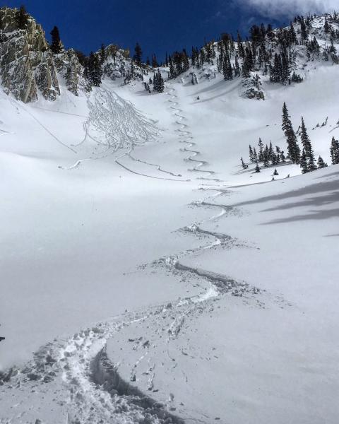
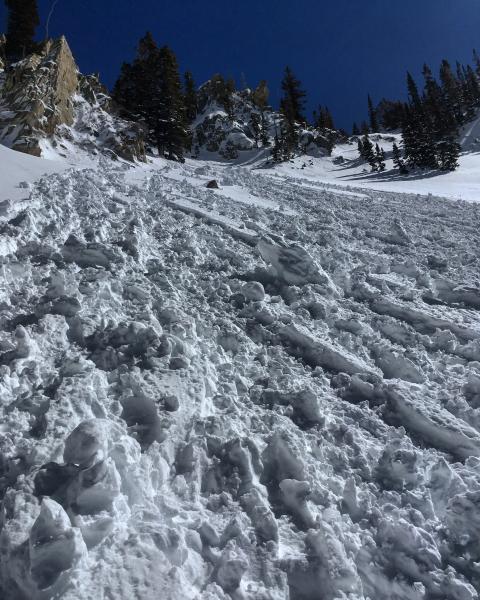
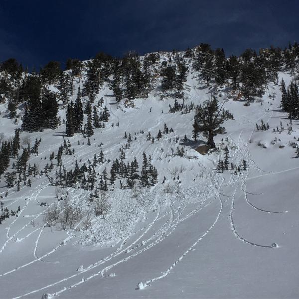
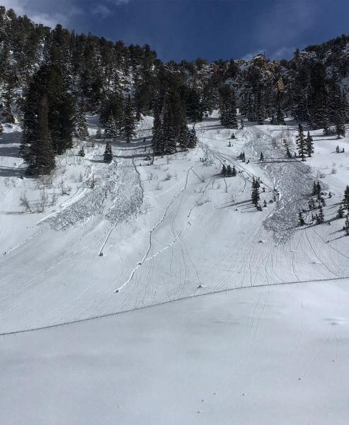
Went to take a look at Red Pine Gulch today, I was surprised at the lack wet activity on the W facing from yesterday, but today more than made up for it with some decent sized wet slide occurring in the afternoon on the W facing, and some spectacular point releases coming off the cliff bands. I think the high clouds this morning kept the E facing in check but the sun came out in the afternoon and heated up the W facing. The new snow remained dry on the N end of the compass in the high alpine with boot deep penetration in the settled powder. I noted some storm snow avalanches that occurred during the storm but nothing appeared to go into deeper layering. No collapsing or cracking was experienced today and many steep lines were skied with out incident. Kinda funny that it's the first day of spring and there's finally enough snow to actually ski in the high alpine on the south side of LCC.
Photos: The thin line between dry snow and damp snow, damp on W dry on NW, some microwave sized debris on W facing, wet activity that occurred this afternoon on the W facing around 3:00pm