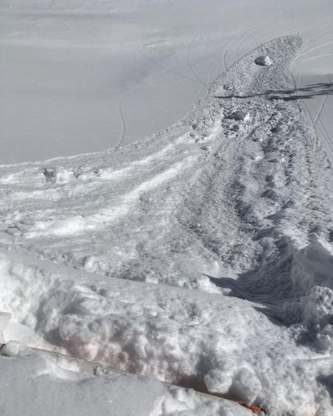
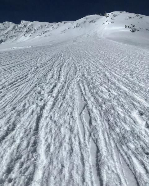
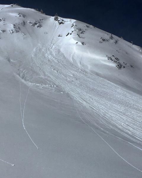
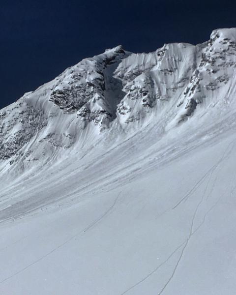
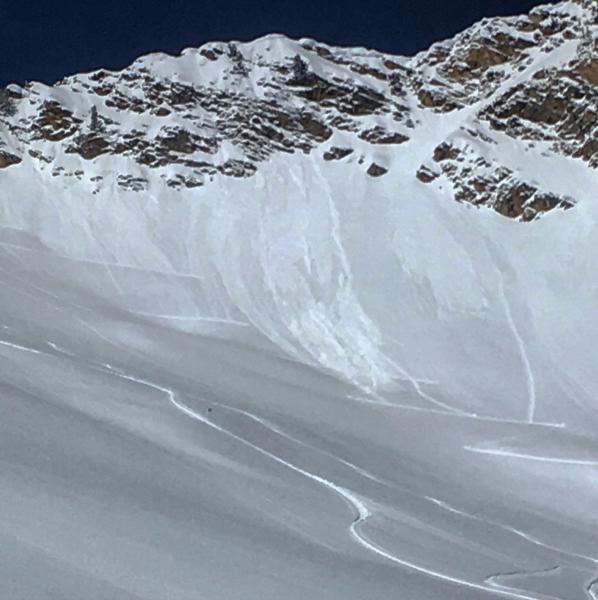
The terrain covered today was LSB, NE facing, Hansen's, and Cardiac Ridge, the only activity noted in the Cardiac area was confined to storm snow only, there were a couple shallow soft slabs on Cardiac Ridge that were fairly fresh, and some other older storm snow slides in Cardiac Bowl. The main activity today was heat related, roller-balls and wet sluffs were noted in SE facing Cardiac Bowl and Hansen's and wet activity on the SE facing of Cardiac ridge over ran the skin trail that was put in early this morning. Sluffs were not running as fast or as far as yesterday and pretty much became extinct by mid-day. I was expecting to see more consequential wet activity but the clouds in the PM might have helped in keeping things from falling apart. I was not on or around any direct S facing when things started to heat up so I'm not sure what happened on the bigger solar slopes. The light density got damp quick and left us with mounds of snow stuck to the petex on the bottoms of our skis on our exit out BCC, might wanna wax.
Photos: Minor sluffing on steep E facing, wet activity in the terrain covered.