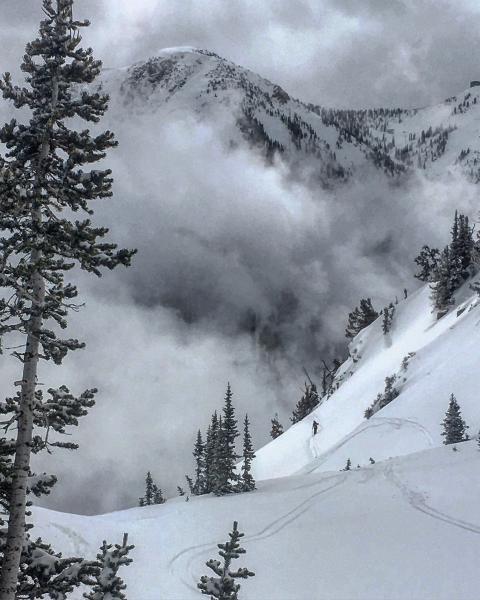
Skied multiple lines on the south facing across the street from Alta, Cardiff Bowl, Toledo, East Hellgate. The new snow hung in until 12:30-1:00pm when the SE and S went off due to breaks of direct sun and green housing, if we don't receive more snow or have a cold clear night the south facing will be crusted in the AM. The new snow seemed well bonded to the underlying surface whether it be a melt-freeze crust, old settled powder or damp, and I did not note any active density inversion in the new snow. Got on some fairly steep slopes at upper elevations and could not get anything to move except a little cracking in obvious wind drifts. I wouldn't think the weight of the new snow is NOT enough to reactivate any buried weak layers in the pack. The new snow had shrunk down to about 5 inches on the south facing at my exit at 2:00PM
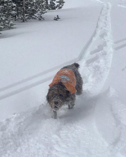
photos: low hanging clouds and breaks of sun creating green housing and dampening of the snow surface, and Udots Matt Mckee"s trusty avalanche dog doing his job.