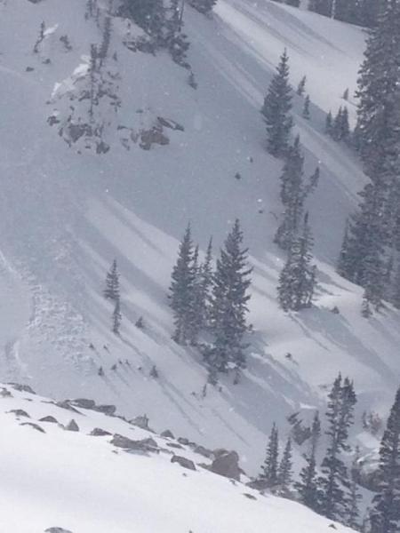
See above with regard to the concerns related to the outlying areas. As other observations report, the Mill Creek drainage and surrounding areas appears to have the most suspect snowpack conditions in the Tri-Canyons.
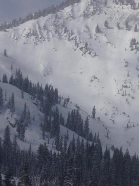
Danger today appeared to be a very isolated Considerable due to the limited natural wind slab activity observed, and cited above. Speculation would have other similar activity as a result of wind loading and the abundant snow available for transport. Out of the wind loaded areas the danger appeared to be moderate for lingering storm slab potential. Hasty pits continued to indicate a sensitive/reactive layer 5 cm up from the old snow/new snow interface of this weekends latest event.
The danger for Tuesday may remain Considerable for the only reason that the sun and ambient temperatures will help initiate the first wet loose avalanche occurrence in this past weekends snow event. Besides this problem, the danger appears to be moderate for all the same problems cited above.