Planned Website Outage: The UAC website will be down for maintenance on June 17 from 2:00 - 7:00 PM MT.

Observation: Yellow Jacket

Observation Date
3/4/2018
Observer Name
Gagne/Johnston/Flaherty/Reich
Region
Salt Lake » Mill Creek Canyon » Yellow Jacket
Location Name or Route
Gobblers (Yellow Jacket/Cabin Run)
Weather
Sky
Obscured
Precipitation
Heavy Snowfall
Wind Direction
Northwest
Wind Speed
Moderate
Weather Comments
Winds picked up late afternoon along upper elevation ridgelines.
Snow Characteristics
New Snow Depth
22"
New Snow Density
Low
Snow Surface Conditions
Powder
Wind Crust
Snow Characteristics Comments

50-60 cms (20-24") of very low-density fluff. Some wind drifting at upper elevations with cracking.

Red Flags
Red Flags
Recent Avalanches
Heavy Snowfall
Wind Loading
Red Flags Comments
Biggest red flag were two natural cycles (described below)
Avalanche Problem #1
Problem
Wind Drifted Snow
Trend
Increasing Danger
Problem #1 Comments

With an abundance of light, loose snow available for transport, any bump in wind speeds will quickly create sensitive wind drifts. We were finding these today along upper elevations west aspects that were getting drifted along the top of ridgelines from w/nw winds. They were not widespread, but very sensitive.

Increasing hazard with winds forecasted to increase during the day on Monday,

Avalanche Problem #2
Problem
Persistent Weak Layer
Trend
Same
Problem #2 Comments

Storm snow easily totaling 1.25-1.5" in water weight plus wind drifting will quickly add stress to buried persistent weak layers.

Comments

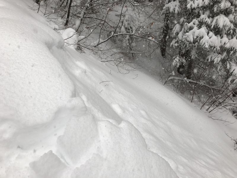
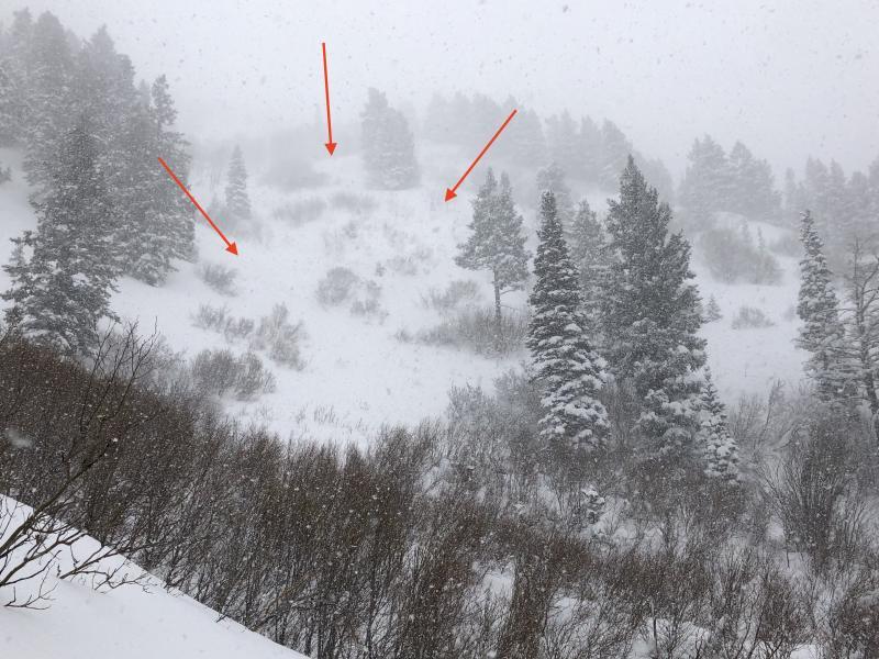
Lots of small natural avalanches on our approach up through Bowman Fork. Appears there were two natural cycles - one overnight, the second beginning at about 9 am with a period of heavy snowfall. These naturals were new snow only, failing down ~20 cms (8") within storm snow. The storm snow was very low-density and any slides were not propagating very widely. As we got into larger terrain, the naturals were larger - up to class 2. These occurred in Yellow Jacket, as well as along ridgeline above Alexander Basin.

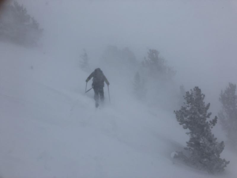
Touchy conditions in the morning, but storm snow instability settled out later in the afternoon as heavy snowfall subsided.

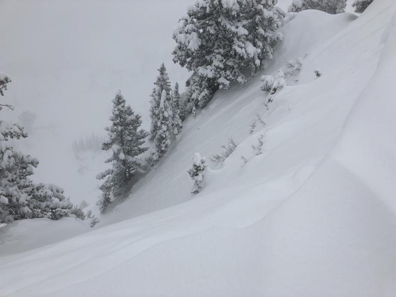
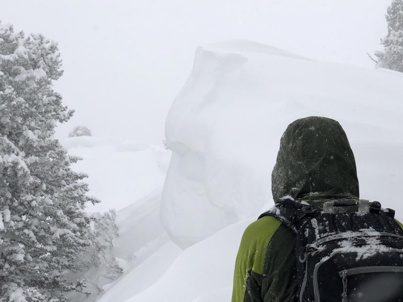
Cornices are getting larger along the impressive Gobblers Ridgline above Alexander Basin.

Winds began to increase later in the afternoon out of the northwest.

Overall considerable hazard today for managing sensitive storm snow. Likely the hazard touched high during period of hi PI mid-morning.

Today's Observed Danger Rating
Considerable
Tomorrows Estimated Danger Rating
Considerable