Observation: Brianhead Backcountry

Observation Date
2/24/2018
Observer Name
Toddeo
Region
Southwest » Brian Head Backcountry
Location Name or Route
Brian Head Back Country - Gooseberry Point
Weather
Sky
Broken
Wind Direction
Southwest
Wind Speed
Moderate
Weather Comments
Started out clear and went to overcast with high clouds. Moderate to occasionally Strong winds.
Snow Characteristics
New Snow Depth
10"
New Snow Density
Low
Snow Surface Conditions
Powder
Snow Characteristics Comments

HST - 10" from last storm, low density.

Red Flags
Red Flags
Poor Snowpack Structure
Red Flags Comments
Poor snow pack structure is still the biggest concern. That being said the snow pack is improving along the HWY 14 corridor, see profile below. Sleds are still sinking to the ground when trying to hill climb in this area.
Avalanche Problem #1
Problem
Persistent Weak Layer
Trend
Same
Problem #1 Comments

This seems like a broken record, but at least the facets are buried 18" deeper than they were 10 days ago. No reactivity in facets in two pits today.

Mostly a moderate hazard.

Avalanche Problem #2
Problem
Normal Caution
Problem #2 Comments

Still a generally weak snow pack, mostly 4-finger throughout. I only hit buried wood once today, a huge improvement. Plus I did not feel like I was sinking to the ground while breaking trail.

Snow Profile
Aspect
North
Elevation
10,100'
Slope Angle
25°
Comments

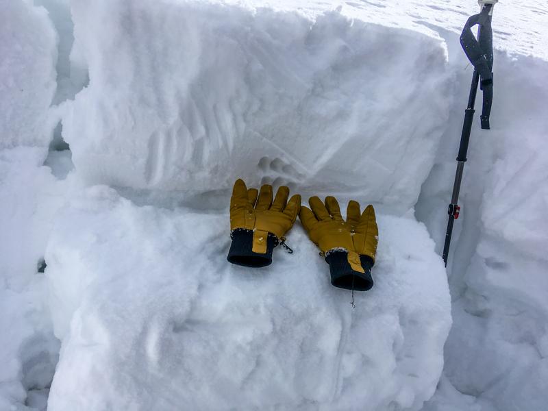
HS-48", this is an increase of 18" in the last 10 days. Basal facets are obvious at base of profile. Generally 4 fingers throughout with fist storm snow on top. 2 ECts. ECTP 21, Q2 at base of this weeks storm snow (18" depth), see photo below. After seeing this I tried 2 more with ECTN results. I also dug another pit about 100' feet higher next to one from Feb 14th, see photo series below.

Photo below: ECTP 21, Q2. Gloves on top of failure plane.

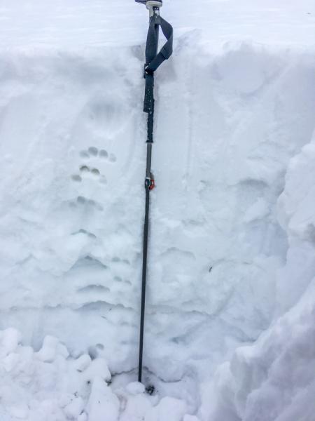
Photo below 2nd pit, approx 100' above 1st pit:

1. Pprofile. HS 48", up from 30 on Feb. 14th. 2 weak decomposed crusts (2 finger, wind/warm?) are visible between hand holes.

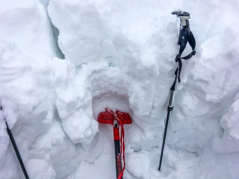
2. ECTN results, column just collapsed under shovel

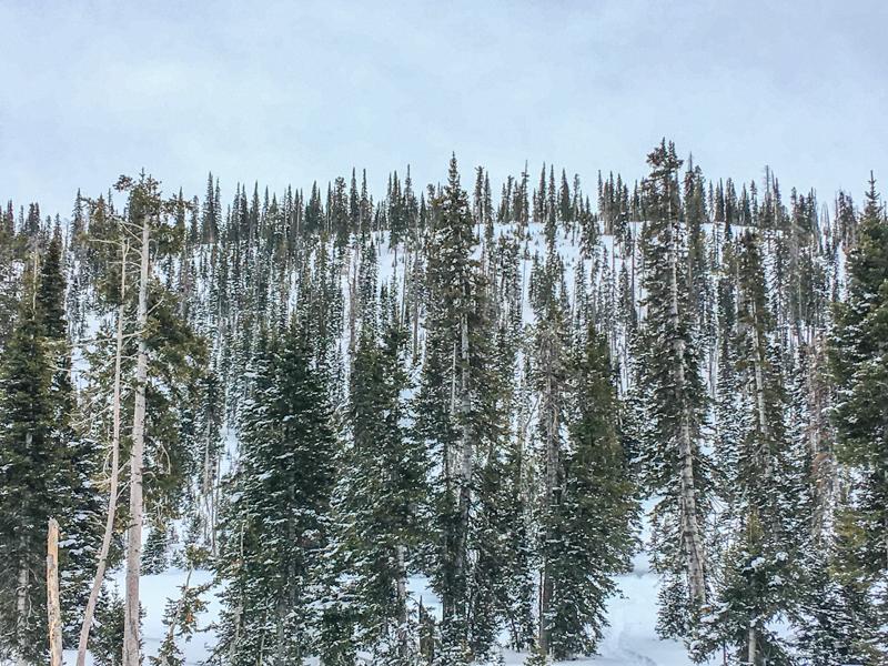
Photo below: Terrain in this area.

If anyone wants to get in touch with me about snow/avalanche questions in SW Utah, I can be reached at [email protected]. I would be happy to walk anyone through the observation process. All observations are appreciated.

Overall a moderate hazard in this area. I would imagine some pockets of considerable in areas with heavy wind loading.

Today's Observed Danger Rating
Moderate
Tomorrows Estimated Danger Rating
Moderate
Coordinates