Planned Website Outage: The UAC website will be down for maintenance on June 17 from 2:00 - 7:00 PM MT.

Observation: Mary Ellen

Observation Date
2/24/2018
Observer Name
L. Dunn
Region
Provo » American Fork » Mary Ellen Gulch
Location Name or Route
Mary Ellen Gulch/Miller Hill
Weather
Sky
Overcast
Precipitation
Light Snowfall
Wind Direction
West
Wind Speed
Light
Weather Comments
The overcast gradually lowered and steady light snow began in the afternoon. There was little or no accumulation during the afternoon.
Snow Characteristics
New Snow Depth
6"
New Snow Density
High
Snow Surface Conditions
Powder
Wind Crust
Snow Characteristics Comments

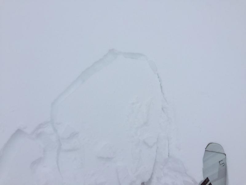
The new snow from Friday was quite dense with the consistency of cake flour. We were generally on southwest facing slopes between 9-10,000'. What surprised us was the wind effect on the snow. There was wind crust scattered among the dense powder throughout the slopes from top to bottom. I was out on Friday and there was very little wind and there wasn't much wind today, but it must have been windy last night to have made such a significant change to the low density snow that fell Friday.

Red Flags
Red Flags
Wind Loading
Cracking
Red Flags Comments
Generally these southwest facing slopes seemed pretty bombproof with about a foot of dense snow on top of a very firm layer of snow. We didn't dig a full pit, but the overall snowdepth was not more than about 48" and there were plenty of rocks still poking out of the thin pack on these southerly slopes. The coverage was slimmer than I expected for this elevation. However, there were windslabs from cross-loading in many gullies and other locations. We didn't see any movement, but I would think some small pockets could pull out in the right situation. The underlying snow did not seem like it would become involved.
Today's Observed Danger Rating
Moderate
Tomorrows Estimated Danger Rating
Moderate