Salt Lake » Big Cottonwood Canyon » Guardsman Pass area
Location Name or Route
Guardsmans Pass area
Comments
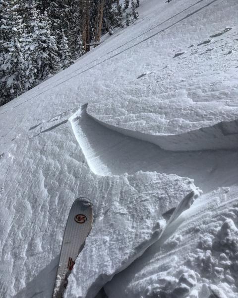
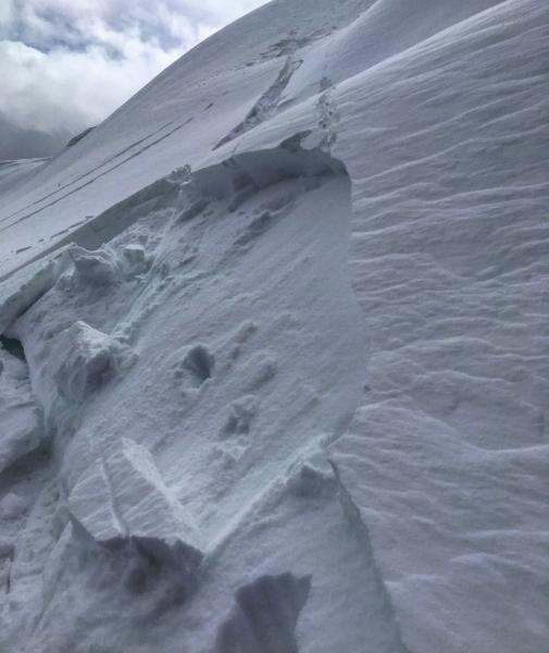
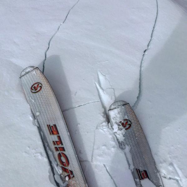
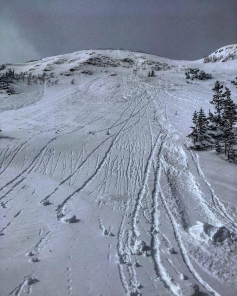
Skied both S and N aspects on the Park City Ridgeline in the Gaurdsmans pass area, The snow on the N facing was soft and creamy except on the exposed ridge line where the S winds had loaded and formed wind slabs on the leeward N facing slopes. From what I was seeing on S and SE facing slopes wind slabs might have been the culprit in the slide on Raymond. There still remains poor structure in the N facing terrain but right now it seems dormant without enough of a load to activate it, but with more wind and snow on the way it will remain suspect until proven other wise. The only activity noted today was natural sluffing of the new snow on steep E facing off of Scotts Bluff and the already mentioned wind slabs just off the ridge lines on the N facing, these wind slabs were breaking out on faceted snow from the last storm.
Photos: Wind slabs, and cracking, natural sluffing