Planned Website Outage: The UAC website will be down for maintenance on June 17 from 2:00 - 7:00 PM MT.

Observation: Snowbasin Backcountry

Observation Date
2/21/2018
Observer Name
Pagnucco, Lees
Region
Ogden » Snowbasin Backcountry
Location Name or Route
Snowbasin backcountry
Weather
Sky
Clear
Weather Comments
Cold, staying in the single digits at the upper elevations all day. But sun and no wind conteracted the temps and made for a pleasant day.
Snow Characteristics
New Snow Depth
12"
New Snow Density
Low
Snow Surface Conditions
Powder
Snow Characteristics Comments

Some settlement, snow staying dry and light. Right side up storm. Great turning conditions at high elevation down to mid though the new snow height decreases rapidly as you go down in elevation.

Red Flags
Red Flags
Poor Snowpack Structure
Red Flags Comments
Still a bit of a facet/crust sandwich under the most recent storm snow. Suspect structure reinforces travel advice to stay on lower angle slopes NW through E at high and mid elevations.
Avalanche Problem #1
Problem
Persistent Weak Layer
Problem #1 Comments

Overall snowpack, still considered on the thin side, contains multiple weak faceted layers. Not quite enough water from this last storm to reactivate but will keep in mind if we get another storm with high water content or rain.

Snow Profile
Aspect
Northeast
Elevation
8,900'
Slope Angle
31°
Comments

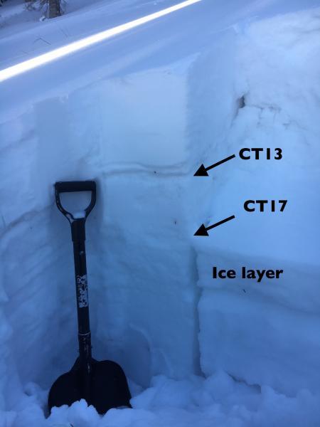
Similar layering was found for another 800'+ vertical as we moved downhill. The facets at 80 cm (beneath the uppermost crust) is the layer of most concern. The storm didn't seem to have enough weight to create avalanching on this layer, but it still a bit "spooky". Some very localized collapsing just beneath our skis.

Below, another pit on almost due north, at 7,900'. Upper crust was variable very over short distances, but facet layer uniform across the slope. Again, some small surface hoar mixed in. Not much of a load from the last storm, but concerns with future loading will mostly be in the upper weak layers.

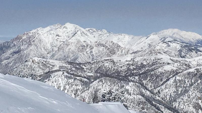
Nice to see the Ogden area mountains look a little more winter-like. Not overly hopeful for low elevation TH's to fill in as we move closer to March.

Today's Observed Danger Rating
Moderate
Tomorrows Estimated Danger Rating
Moderate