Observation Date
2/18/2018
Observer Name
Toddeo
Region
Southwest » Pahvant Range » Maple Hollow
Location Name or Route
Pahvants - Maple Hollow
Weather
Sky
Broken
Wind Direction
South
Wind Speed
Strong
Weather Comments
Warm and very windy. Signs of wind trasnport at all elevations.
Snow Characteristics
Snow Surface Conditions
Damp
Snow Characteristics Comments
Mostly damp, some corn like snow on sunny aspects below 7,000'
Went to look at the pre-storm snow surface. Only made it to 7,600' due to horrendous skinning conditions, very sticky situation. Snow that was dry 2 days ago was very damp on the surface. Below the surface the snow was still relatively dry.
Red Flags
Red Flags
Wind Loading
Poor Snowpack Structure
Red Flags Comments
Wind was getting down to all elevations today. I imagine there was a lot of transport before things warmed up. Likely still some at the upper elevations.
Weak snow pack based on basal facets and weak upper pack. This will come into play if the storm produces, I could see the hazard going to high if we get an inch or more of water weight.
Avalanche Problem #1
Problem
Wet Snow
Trend
Decreasing Danger
Problem #1 Comments
Today the hazard was likely wet slabs at the elevations I traveled through. Likely wind slabs up higher.
considerable hazard.
Avalanche Problem #2
Problem
New Snow
Trend
Increasing Danger
Problem #2 Comments
These hazards are more for tomorrow based on forecasted snow totals:
Storm slab due to weak surface snow and an unconsolidated mid-pack.
Persistent slab, avalanches can beak to the ground due to basal facets.
Comments
No snow profile, the good news is that the warm weather is consolidating and strengthening the snow pack. Also shady mid-elevation aspects are actually harboring cover good enough to travel.
Photos below:
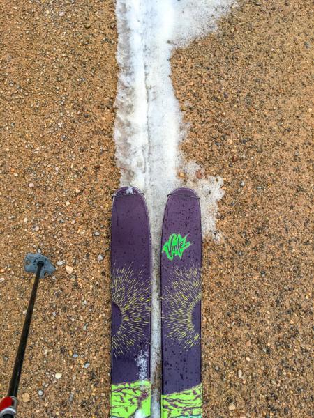
1. Thin cover on the approach.
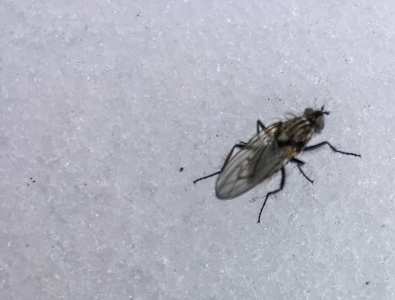
2. The flies are out
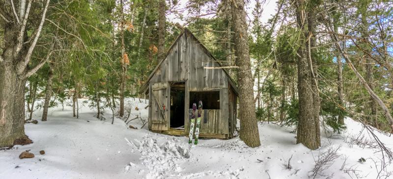
3. The Pahvant hut system is taking reservations for the 2018-2019 winter.
Today was mostly a recon to look at cover and snow surfaces prior to the storm. Tomorrows hazard of high is based on projected storm totals.
Today's Observed Danger Rating
Considerable
Tomorrows Estimated Danger Rating
High