Planned Website Outage: The UAC website will be down for maintenance on June 17 from 2:00 - 7:00 PM MT.

Observation: Wolverine Peak

Observation Date
2/16/2018
Observer Name
Brackelsberg
Region
Salt Lake » Big Cottonwood Canyon » Wolverine Peak
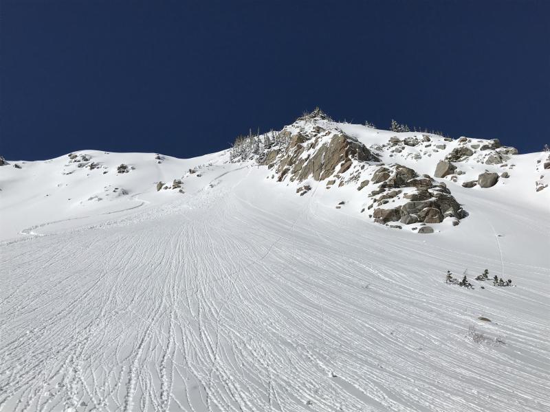
Location Name or Route
Mt Wolverine and Tuscarora
Weather
Wind Direction
Southwest
Wind Speed
Strong
Weather Comments
Strong southwest winds and cold temperatures in the morning. The winds died down in the late morning and the sun exposed snowpack heated up very quickly.
Snow Characteristics
New Snow Depth
15"
New Snow Density
Low
Snow Surface Conditions
Powder
Snow Characteristics Comments

The southwest winds were transporting a significant amount of new snow. There were wind slabs forming through the morning on the leeward slopes.

Red Flags
Red Flags
Heavy Snowfall
Wind Loading
Rapid Warming
Red Flags Comments
The morning's red flags were the wind and new snow. By late morning, the sun exposed slopes were starting to roller ball and a few point release slides were observed.
Avalanche Problem #1
Problem
Wind Drifted Snow
Trend
Increasing Danger
Problem #1 Comments

With the strong winds, I would expect the wind slab dangers to increase through the day and into Saturday.

Avalanche Problem #2
Problem
Wet Snow
Trend
Increasing Danger
Problem #2 Comments

The quickness and extent of the warming caught me by surprise based on the cold morning temperatures. If Saturday is another sunny day, sun exposed slopes may see increased activity.

Comments

Late morning warm activity off of Mt Tuscarora.

Today's Observed Danger Rating
Moderate
Tomorrows Estimated Danger Rating
Moderate