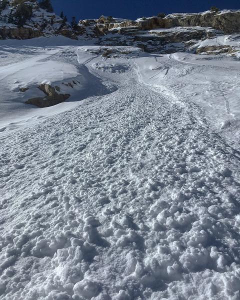
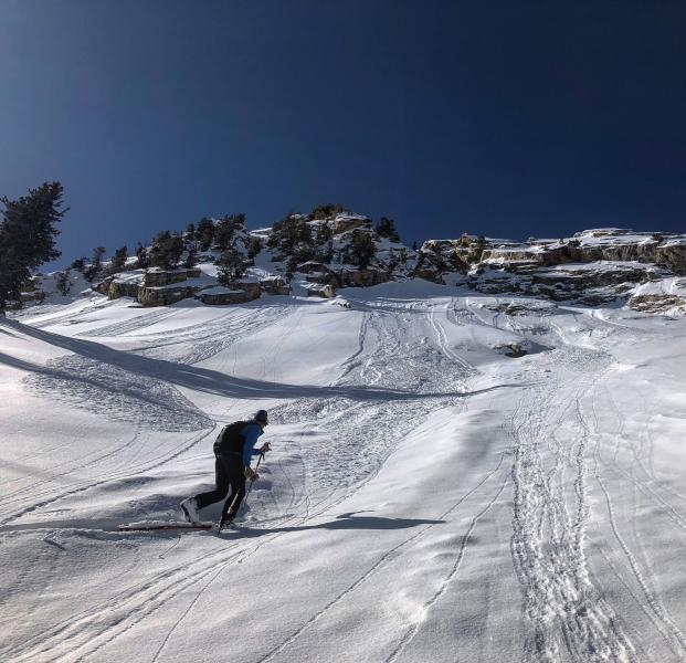
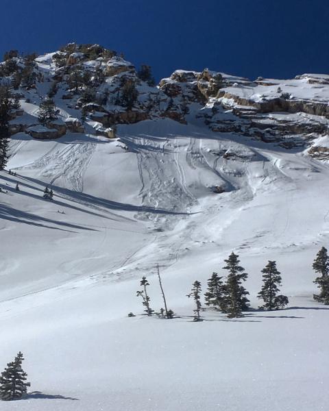
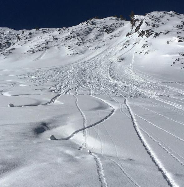
Headed back to Cardiff today thinking that the bulk of the new snow fell in the upper Cottonwoods. The new snow was non wind affected and light density. There was quite a bit of natural sluffing, some dry some wet. The larger dry sluffs seemed to occur during high PI rates at the end of the storm yesterday, the wet sluffs occurred on the S facing aspects when they heated up around 10:30am today, some crossing skin tracks. Some of the dry sluffs left fairly large debris piles but the todays settled snow was not slufffing much on the steep northerly slopes. Seems as though any avalanche activity is dormant right now with only small increments of light density snow being added to the snow-pack from our series of small storms. The structure is still suspect but starting to come around in the deeper snow-pack areas such as the Cardiac area. I'm thinking that we will need a real old fashion storm with some wind and weight too it to get things moving in this type of terrain.
Photos: Natural dry sluffs on the E facing under the rock slabs in Ivory Flakes, Heat induced wet sluff coming off the SE facing in Hansen's covering up a skin trail.