UDOT PLANNED AVALANCHE CLOSURES!!

Observation: Cardiff Fork

Observation Date
1/28/2018
Observer Name
John Mletschnig
Region
Salt Lake » Big Cottonwood Canyon » Cardiff Fork
Location Name or Route
Cardiff Fork
Weather
Sky
Overcast
Precipitation
Light Snowfall
Wind Direction
West
Wind Speed
Light
Weather Comments
Humid and riming in the morning then broken sky in the afternoon with a drop in winds aloft.
Snow Characteristics
Snow Surface Conditions
Rain-Rime Crust
Snow Characteristics Comments

Rime crust 1- 3mm encased nearly everything we saw above 9k.

Red Flags
Red Flags
Collapsing
Poor Snowpack Structure
Red Flags Comments
Today our group of three had a very large collapse on a WNW aspect at 9450' in East branch of Cardiff between the top of the Tube and the Bottom of Holy Toledo. Our group was spaced out about 200' and it stopped everyone in their tracks. A nearby pit showed very poor structure of the snowpack on a W aspect 9500' and full propagation in multiple ECT tests on 4 to 6mm depth hoar. Of note Holy Toledo (the next slope up canyon and similar aspect and elevation) had five ski tracks on it from yesterday with no event.
Avalanche Problem #1
Problem
Persistent Weak Layer
Trend
Same
Problem #1 Comments

Snowpack structure in thinner snowpack areas (<140cm) is still VERY suspect. I am thinking now that off aspects (WNW, ESE) in the core of the cottonwoods above 9000' may be worse off than favored depth sheltered areas like N, NE. Repeater paths I think are also quite suspect as well as any sheltered slope in the ranges periphery, including the Millcreek and PC Ridges.

Snow Profile
Aspect
West
Elevation
9,500'
Slope Angle
24°
Comments

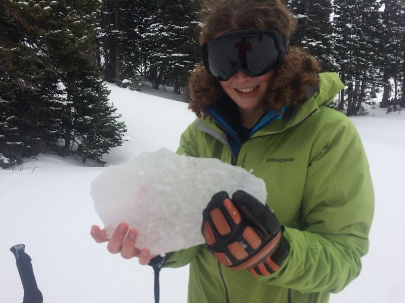
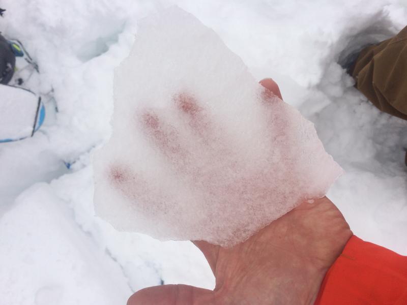
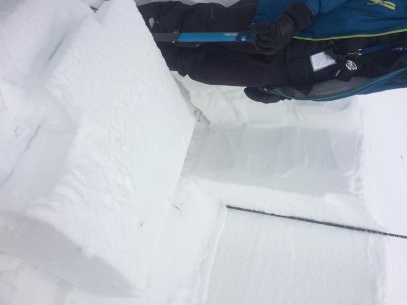
ETCP 21 Sudden Collapse, ECTX, ECTP23 Sudden Collapse all at 25cm on 5mm, Fist hardness, depth hoar below 1 Finger slab. HS110cm.

Rime anybody?

Slab anybody? Yikes...honesty!

Today's Observed Danger Rating
Moderate
Tomorrows Estimated Danger Rating
Moderate
Coordinates