Observation: Moab

Observation Date
1/20/2018
Observer Name
Reed Kennard
Region
Moab
Location Name or Route
Horse Creek
Weather
Sky
Obscured
Precipitation
Light Snowfall
Wind Direction
South
Wind Speed
Strong
Weather Comments
I spent the day at the Gold Basin yurt with some friends waiting for the storm to roll in. Their were strong winds out of the south all day with light snow fall and temperatures in the upper 20's. less than half an inch had fallen by 4:00 in the afternoon when I left the yurt. By the time I got to the Geyser pass parking lot it was snowing at least an inch an hour with continued strong winds.
Snow Characteristics
New Snow Depth
1"
New Snow Density
Medium
Snow Surface Conditions
Powder
Snow Characteristics Comments

The current storm took its sweet time getting to the La Sals today, with less than an inch of snow falling all day. By 4:30 in the afternoon the storm had finally arrived and it was snowing at least an inch an hour in the Geyser pass parking lot. The minimal daytime snow was falling in the form of small rounds and ice needles. When the heavy snow fall began it started as small rounds, but turned to larger stellar flakes within 20 minutes.

Red Flags
Red Flags
Heavy Snowfall
Wind Loading
Cracking
Poor Snowpack Structure
Red Flags Comments
Tonights storm snow will be falling on a shallow weak snow pack. While meadow skipping near horse creek I was able to get the snow surface to crack out 20 feet in front of me, before any fresh snow had accumulated. The winds were in the 30's all day with gust in the upper 40's. Any snow, new or old, that was available for transport has moved and been deposited on the leaward side of ridges and terrain features. The heavy snow fall will most likely be blown around and deposited into wind slabs that are sitting on top of a shallow weak snow pack.
Avalanche Problem #1
Problem
Persistent Weak Layer
Trend
Increasing Danger
Problem #1 Comments

We have a classic shallow, weak snow pack in the La Sals right now. This snow pack will have a hard time supporting the weight of the predicted snow fall amounts.

Avalanche Problem #2
Problem
Wind Drifted Snow
Trend
Increasing Danger
Problem #2 Comments

Heavy winds and moderate snow fall are predicted for the remainder of the evening as well as tomorrow. This weather combination will create windslabs on the lee side of terrain features and ridges. These slabs will be forming on top of a shallow faceted snow pack.

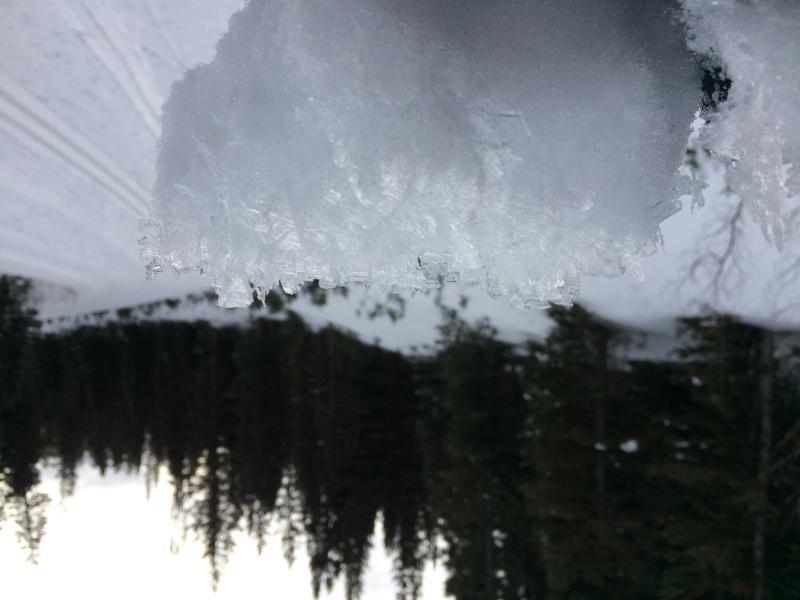
This is an example of what the new snow is falling on. I took this picture Friday evening.

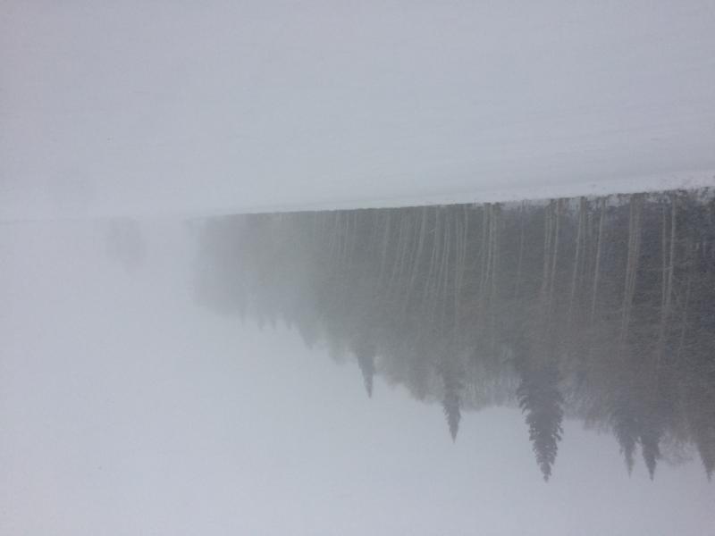
Low visibility and blowing snow in the Geyser Parking lot Saturday evening

Today's Observed Danger Rating
Moderate
Tomorrows Estimated Danger Rating
Considerable