Planned Website Outage: The UAC website will be down for maintenance on June 17 from 2:00 - 7:00 PM MT.

Observation: Park City Ridgeline

Observation Date
1/18/2018
Observer Name
Pete Earle
Region
Salt Lake » Park City Ridgeline
Location Name or Route
Park City Ridgeline
Weather
Sky
Broken
Wind Speed
Calm
Weather Comments
Above freezing at 10K. Balmy and springlike.
Snow Characteristics
Snow Surface Conditions
Faceted Loose
Red Flags
Red Flags
Poor Snowpack Structure
Red Flags Comments
Went out for a walk in the Park City periphery to look at the distribution of surface hoar/NSF before the upcoming storm. Found it on all aspects between 8500 and 10k. Sun seemed to cook it off fairly well on solar aspects, would expect a 1 to 2 cm mf crust tomorrow SE through SW. CTN X2 in my snowpit, NE, 9300'. Biggest issue in that spot was the weak surface snow. 5 to 10cm surface hoar with some NSF and Groupel mixed in. We're almost exactly a year removed from the last SH/NSF cycle on the Park City Ridgeline/Lambs zone, we'll see if the prefrontal winds can knock this stuff around before the snow flies tomorrow. Wouldn't expect to see a stepdown where I dug today, but based on pits in other areas I would expect to see deeper layers reactivate if the high end of the forecast verifies. Rain crust (1/10) deteriorating and almost undistinguishable at this elevation. Recent pits not showing propagation, and moderate to high strength scores. Poor structure and spacial variability abound.
Snow Profile
Aspect
Northeast
Elevation
9,300'
Slope Angle
33°
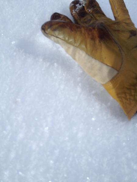
Surface Hoar prevalent on all non solar aspects 8500 to 10k.
Today's Observed Danger Rating
Low
Tomorrows Estimated Danger Rating
Moderate
Coordinates