Planned Website Outage: The UAC website will be down for maintenance on June 17 from 2:00 - 7:00 PM MT.

Observation: Franklin Basin

Observation Date
1/12/2018
Observer Name
Brett Verhoef
Region
Logan » Franklin Basin
Location Name or Route
Lower Franklin Basin
Weather
Sky
Overcast
Precipitation
Light Snowfall
Snow Characteristics
New Snow Depth
3"
New Snow Density
Medium
Snow Surface Conditions
Dense Loose
Snow Characteristics Comments
A few inches overnight, the top centimeter was graupel, light graupel falling. 90 cm total with the bottom 40 cm being faceted sugar.
Red Flags
Red Flags
Heavy Snowfall
Poor Snowpack Structure
Red Flags Comments
6" of recent dense, heavy snow was observed over a rain crust, a weak layer, and a thick faceted layer near the ground.
Avalanche Problem #1
Problem
Persistent Weak Layer
Problem #1 Comments
ECTP29 Q1 @ 48.5 cm showed that the faceted layer at the ground is still affecting the stability. However, no observed collapsing or cracking. Test slopes did not produce any activity, even stomping all over 30' tall 40° slopes at the wind loaded ridge top.
Snow Profile
Aspect
Northeast
Elevation
7,500'
Slope Angle
25°
Comments
Overall stability was much better than expected at mid elevations.
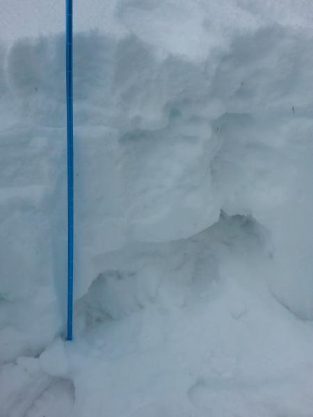
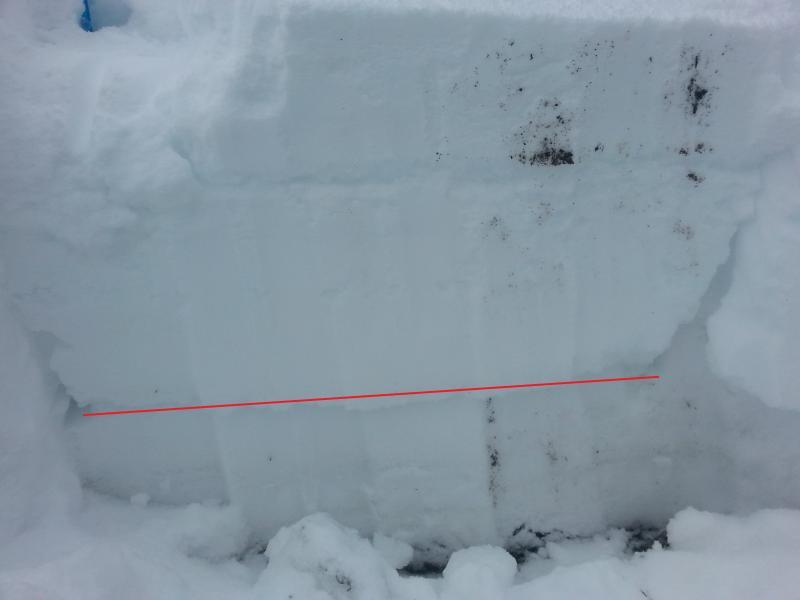
Snow structure showing 40 cm thick faceted sugar layer near the ground.
ECTP29 Q1 test
Today's Observed Danger Rating
High
Tomorrows Estimated Danger Rating
Considerable
Coordinates