Planned Website Outage: The UAC website will be down for maintenance on June 17 from 2:00 - 7:00 PM MT.

Observation: Brighton Perimeter

Observation Date
1/11/2018
Observer Name
CBrown
Region
Salt Lake » Big Cottonwood Canyon » Brighton Perimeter
Location Name or Route
Brighton/Alta Periphery
Weather
Sky
Overcast
Precipitation
Light Snowfall
Wind Direction
West
Wind Speed
Light
Weather Comments
Sky was OVC to X with short periods of BKN when you could see the sun and little bits of blue sky. Very light snowfall on and off. Winds were pretty light with some W winds observed in Lake Martha Basin and above. Moderate temps.
Snow Characteristics
New Snow Depth
4"
New Snow Density
Low
Snow Surface Conditions
Powder
Dense Loose
Snow Characteristics Comments

Found some great snow today with the heavy supportable snow from Tuesday topped off with about 4" of light density colder snow. Stayed out of wind affected snow in protected high areas. The snow seemed to have settled out significantly since yesterday to today, ski pen up to 14" yesterday, today more in the 4"-6" range.

Red Flags
Red Flags
Recent Avalanches
Wind Loading
Poor Snowpack Structure
Red Flags Comments
Totally different story than yesterday. I went from probably the weakest shallow snowpack on the PC ridge line to the deepest most stable snow in upper BCC/LCC between yesterday and today. After seeing a few small pockets above the grizzly road, I did not observe one avalanche recent enough to be seen in my travels around Wolverine Cirque to Wolverine bowl, down to lake Mary, over to Lake Martha and out over Catherine's pass to Alta. The structure is still a concern and wouldn't touch larger avalanche slopes.
Avalanche Problem #1
Problem
Persistent Weak Layer
Trend
Same
Problem #1 Comments

Although none really observed today the structure is still there to produce potentially large PS avalanches, with additional wind loading this may be activated into a natural cycle.

Avalanche Problem #2
Problem
Wind Drifted Snow
Trend
Same
Problem #2 Comments

The winds from yesterday and light winds today had transported some snow and formed some wind slabs. Most of the ones I observed were stubborn. New wind slabs could form with increases winds and 4" of light density snow available for transport.

Comments

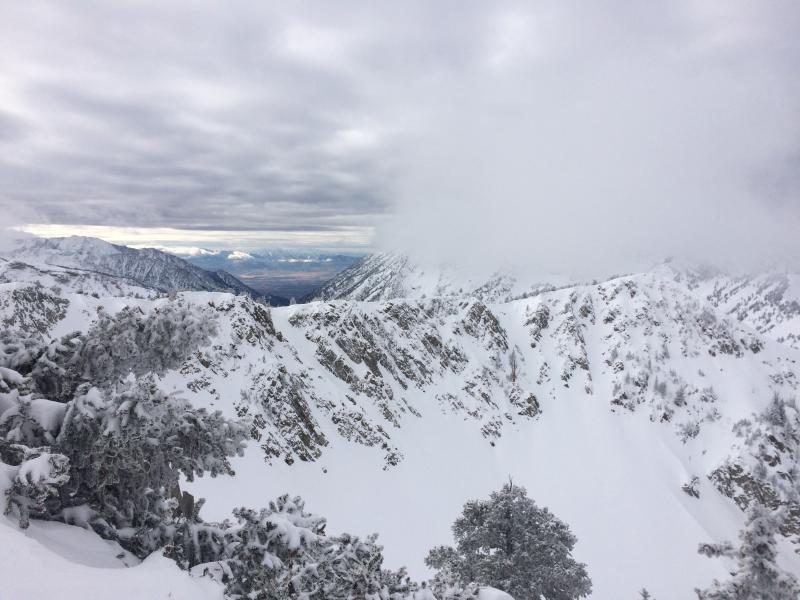
Really surprised to see almost no tracks and no avalanches in the whole lake Catherine basin, as well as no distinguishable avalanches in all of wolverine cirque. Much deeper pack in this area than anywhere else I have observed, from HS 130 to 180cm between 9,800' and 10,800'. The deepest around and above Lake Mary in protected areas. Found lots of little steeper small test slopes that were surrounded by rocks with rocky bed surface and couldn't get any snow moving other than the 4" of fluff on top sluffing on steepest slopes traveled. The structure is still there and set up to produce PS avalanches despite all this.

No observed natural or skier triggered activity in Wolverine Cirque.

Where I was today I thought the hazard was moderate with pockets of considerable. I did not touch or test any longer slopes (ie Wolverine cirque chutes or similar) because I figure let the snow snow sit there and settle out rather than just clean it out and ruin potential future ski runs.

Today's Observed Danger Rating
Considerable
Tomorrows Estimated Danger Rating
Considerable