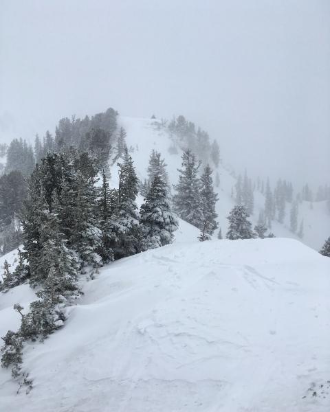
Wanted to have a look and see if the new dense snow was overloading our weak snow pack yet, ventured up over Cardiff Peak and had a look at the N facing slopes below it. As soon as stepping on the more northerly facing slopes with facets underlying the new dense snow collapsing was experienced, with localized cracking. Dropped a few small cornices on the N facing with no results, that being said the cornices were just babies with not much weight to them. The feel of the snow pack alone was upside down, inverted and hollow, and the collapsing just confirmed that the snow pack was getting sensitive, cranky and not liking the new load. I would think that avalanches are inevitable but I left before the continued snowing and wind loading from the SW overloaded any slopes. I did note what looked to be a fresh crown in the top of Tiger Tail under the cliffs which seems to make sense seeing that it was just above or at the same elevation as the rain-snow line. The new snow seemed fairly well bonded to the melt-freeze crust on the south facing due to it coming in so wet.
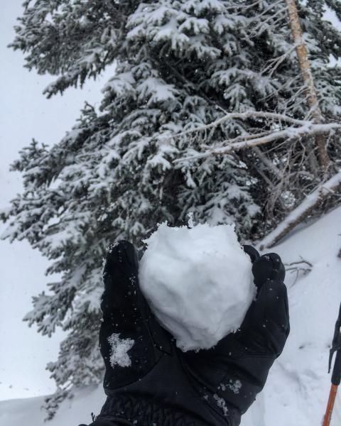
Photos: snowball made on the top of Cardiff Peak 10'100ft to show how dense and damp the snow was at that elevation and the SW winds transporting snow to the N facing on the ridge separating Cardiff Fork from LCC
I think todays hazard was verging on considerable on the mid and high elevation steeper N facing terrain and will be most certainly in that range tomorrow or higher depending on new snow amounts and wind.


