Observation Date
12/25/2017
Observer Name
Grainger
Region
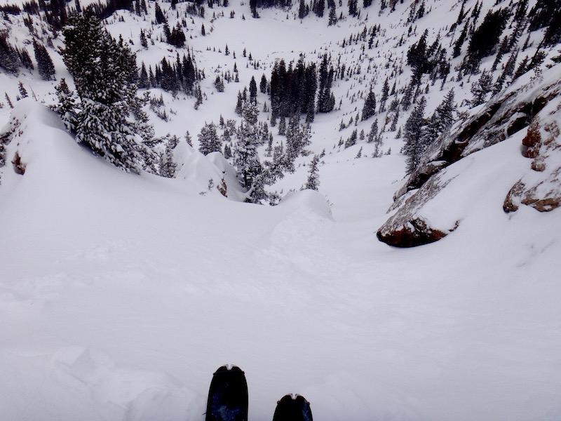
Salt Lake » Big Cottonwood Canyon » Rocky Point
Location Name or Route
Rocky Point
Weather
Sky
Obscured
Precipitation
Light Snowfall
Wind Direction
Northwest
Wind Speed
Moderate
Weather Comments
Consistent moderate wind, cornice and wind loading on east of compass.
Snow Characteristics
New Snow Depth
9"
New Snow Density
Medium
Snow Surface Conditions
Powder
Red Flags
Red Flags
Recent Avalanches
Wind Loading
Cracking
Poor Snowpack Structure
Avalanche Problem #1
Problem
New Snow
Trend
Decreasing Danger
Problem #1 Comments

Some (soft) storm slab movement on steep leeward slopes, a little surprised to not see more connectivity in my location (ENE from Catherine's up to Rocky Pt.).

Avalanche Problem #2
Problem
Persistent Weak Layer
Trend
Same
Problem #2 Comments

Dug a pit ~30ft off the ridge, ENE facing at 10,300 ft and found very weak NSF layer sitting on a pencil-hard crust from November, ~40cm from the ground. This layer caused Sudden Planar ECT results on isolation.

Snow Profile
Aspect
Northeast
Elevation
10,300'
Slope Angle
32°
Comments

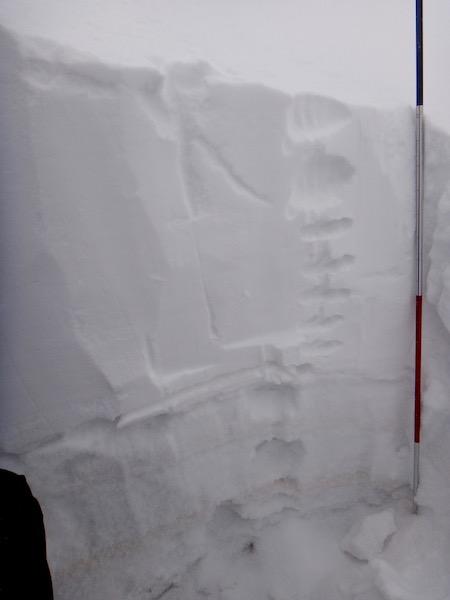
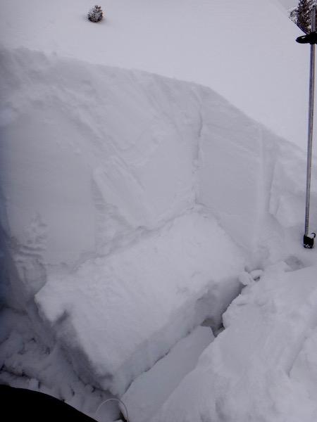
Both the dirty early season crust layer and the (higher) pencil-hard suspect crust visible.

Sudden Planar failure on isolation, near surface facets sitting on top of pencil crust ~41 cm from the ground.

Less connectivity than expected in the storm slab, no observed step-downs to older layers.

Today's Observed Danger Rating
High
Tomorrows Estimated Danger Rating
Considerable
Coordinates