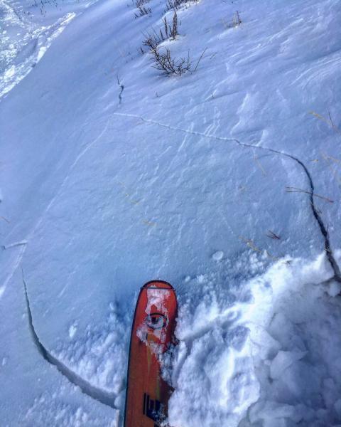
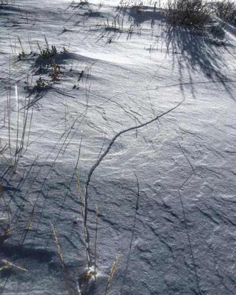
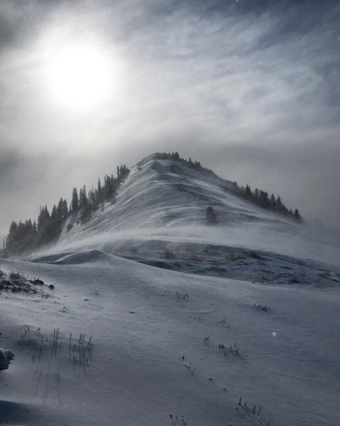
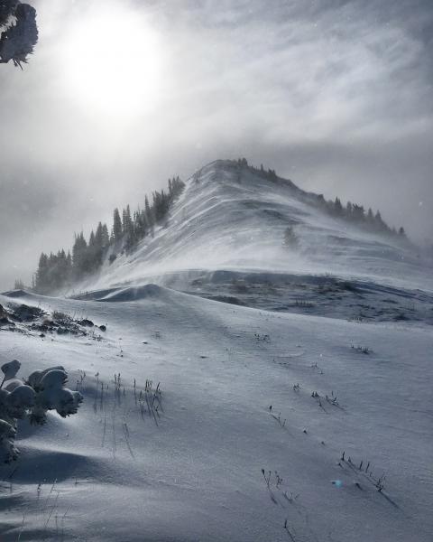
Went to the PC Ridgeline not knowing that the wind was cranking from the N-NE in the moderate to strong category. Herd talk of NW winds in the 15 to 20 mph range and saw it at some stations, but truth be known N-NE winds were gusting to at least 30 mph on the PC Ridgeline stripping all the new snow off the top half of Scotts and South Monitor, NE facing, down to the old crust and revealing old tracks from weeks ago. No wind slab or wind loading or much new snow means no hazard on the N facing slopes in the terrain covered, also means no good skiing either. Most of the new snow that was being stripped off of Scotts peak was being deposited in W facing USA Bowl where the snow was knee deep in some spots. Shooting cracks were common on the wind drifted ridge line on the west facing but there's not enough of a pitch in USA Bowl to get anything moving. If I was on a steeper W facing slope that was getting loaded today I would have been more concerned about avalanche activity.
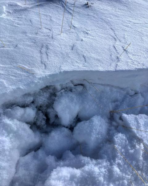
Photos: Shooting cracks in wind drifts just off the ridge line, the faceted snow underlying these drifts, and as you can plainly see, the wind cranking out of the N-NE stripping Scotts peak down to the old crust.