Observation Date
12/17/2017
Observer Name
Toddeo
Region
Southwest » Pahvant Range » Maple Canyon
Location Name or Route
Pahvants - Maple Canyon
Weather
Sky
Obscured
Precipitation
Light Snowfall
Wind Speed
Calm
Weather Comments
Fog below 9,000', calm cold day
Snow Characteristics
New Snow Depth
1"
New Snow Density
Medium
Snow Surface Conditions
Powder
Snow Characteristics Comments
About 0.5" new. There might have been more in town @5,000' than up high.
Red Flags
Red Flags
Poor Snowpack Structure
Red Flags Comments
Poor snowpack structure is a future red flag. On northerly aspects. I observed facets like I have in other areas in the Pahvants. See photo below. It still comes down to weather there is enough continuity in the current shallow snow pack (HST 0 to 6") to allow for a widespread avalanche. I think there is enough for a collapse but I am not sure about propagation and movement through all the brush and rocks. A very rough bed surface.
If a big load of snow magically appeared, I would likely avoid the norths with facets for awhile.
Avalanche Problem #1 Snow Profile
Aspect
Northeast
Elevation
9,300'
Slope Angle
30°
Comments
Snow profile below:
0.5" new snow/graupel
facets. fist
decomposing melt/freeze crust, finger+
Basal facets, 4 finger
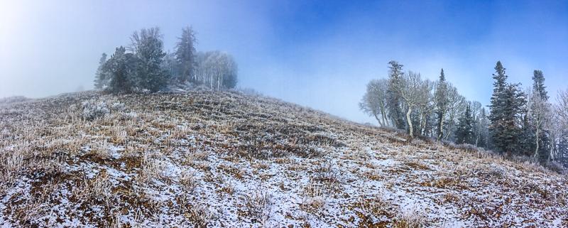
Photo below: this terrain is east facing, no old snow, this is an example that would be safe when we get snow. Upper north facing aspects may be questionable.
In terms of hazard, none until it actually snows for real.
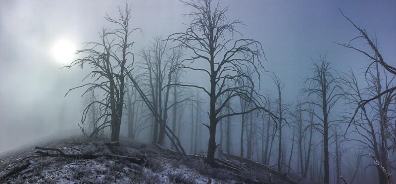
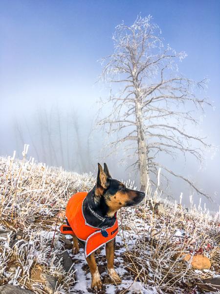
Photos below:
Variable weather on the ridge tops. Clouds socked back in after the 2nd photo.
Today's Observed Danger Rating
None
Tomorrows Estimated Danger Rating
None