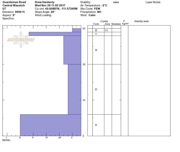
Poor snowpack structure. Two profiles: the upper profile is a composite of 9800' South Monitor and Scott Bowl. The lower profile is north facing at 9000' along Guardsman Pass road. General thought below -
Upper layer issues -
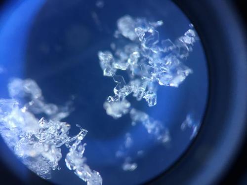
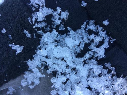
The bad news is that we have a thin weak layer (both SH and facets) above a good bed surface. The good news is that we don't have any storms on the horizon or beyond. (Sorry, bad joke but we laugh so we don't have to cry.) . Quite possible that wind may erase this weakness from the Nov 27 "storm". But if a storm came tomorrow, things would sluff quite easily on the steeper slopes where the lower angle terrain might build the slab to be triggered, potentially, from adjacent terrain (remotely) on these or more basal facets. See profile and photo of sub-crust facets below.
Lower layer issues -
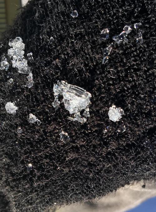
Well developed depth hoar exists in the basement, sitting above a 5cm+ hard crust. With enough of a load, we're certain to see full depth avalanches down to this layering. In some cases, the old September depth hoar and the facets from early November are nearly seamless, but for grain size.
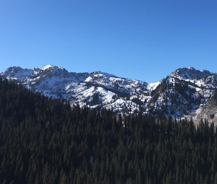
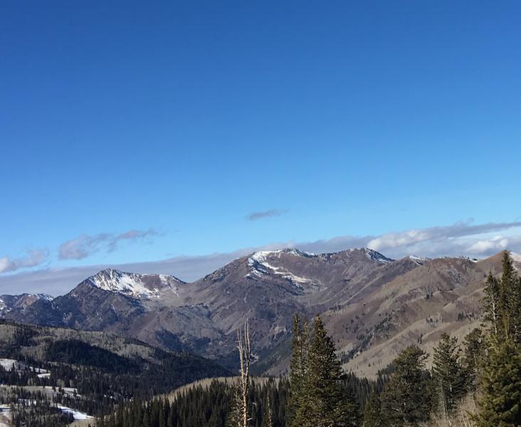
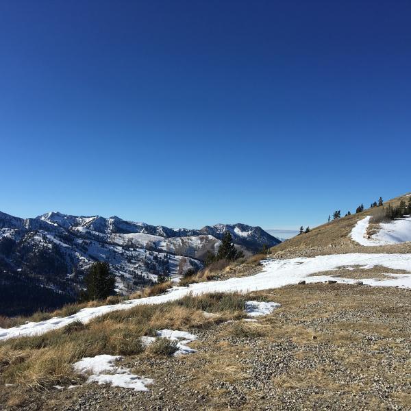
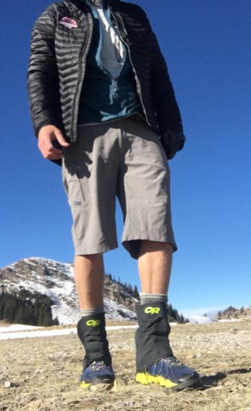
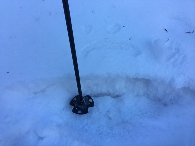
Photos of snow coverage from around the range. Skiing was sweet.