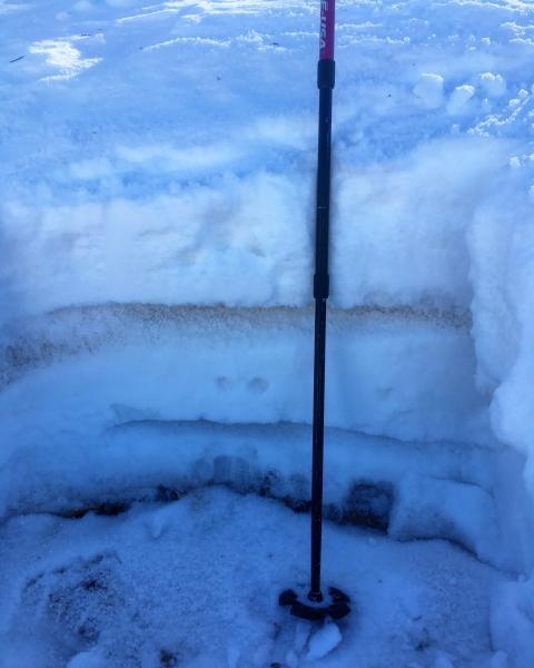
Dug quick pit at 10,300ft north facing and protected, same thing I've been seeing for a few weeks now, but the dirty graupel layer is becoming stronger and the depth hoar at the bottom of the pack remains the weakest link. Once again I could not isolate a column without it failing on the facets at the ground on a 35 degree slope. With possible cold clear nights in the near future I would expect to see the surface snow weaken and the crusts break down as time goes on, but I still consider the base of the snow pack the weakest layer, this is mainly above 9600ft on N, NE slopes, everything else just needs a good dose of snow.
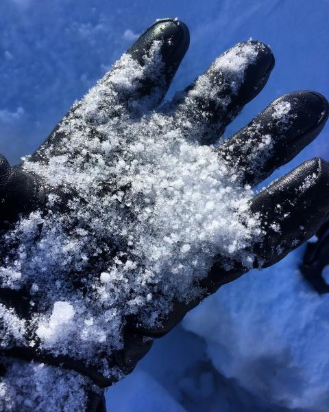
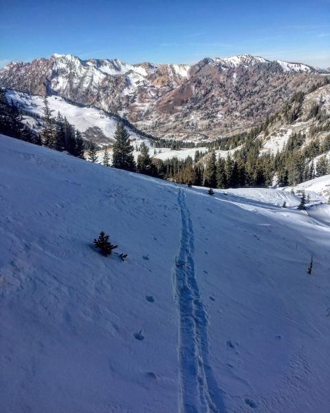
Photos: Snow pit, large grain facets from the failure plane, ski penetration on the surface on shady protected north which seems likely to get weaker as time goes on if we don't get snow.