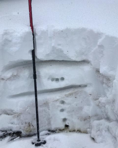
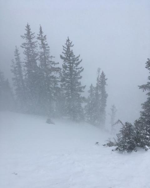
Hiked up to the top of Cardiff peak to have a look at the snow pack, the last time I dug to the ground was in Cardiac bowl, just under 11,000ft after our last little storm and was finding the old snow to be basically faceted and loose top to bottom. The pit I dug on Cardiff Peak 10,200ft, down off the ridge line, N facing and somewhat protected revealed a different structure, all the old snow from the September snow had gotten moist and had frozen solid to the point that I could barley penetrate it with one finger, but the five inches from the last little storm has faceted out and created a weak layer that seems like it's going to stick around awhile, and with todays denser, wind driven snow sitting on top off of these weaker underlying facets avalanches seem likely if we receive enough of a load.
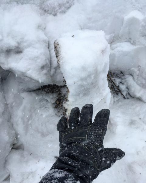
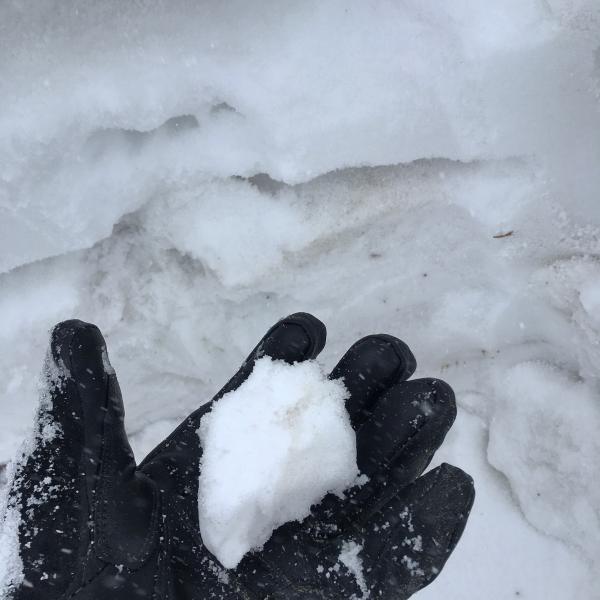
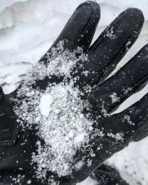
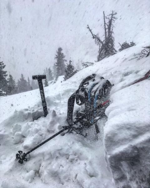
Photos: snow pit, revealing a foot of frozen snow at the bottom of the pack with the faceted 5 inches from our last little storm:[the weak layer], all capped off by a layer of graupel and todays new snow. The frozen base layer, that was still moist enough to make a snowball out of, graupel layer from the beginning of the storm, wind transported snow, and drifts up to a couple feet deep.
I say high N facing terrain with old snow could be reaching considerable, depending on if we get enough new snow and wind to tip the scales, and all terrain with no old snow would be low.


