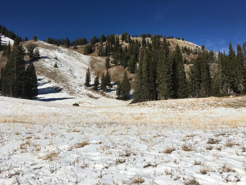
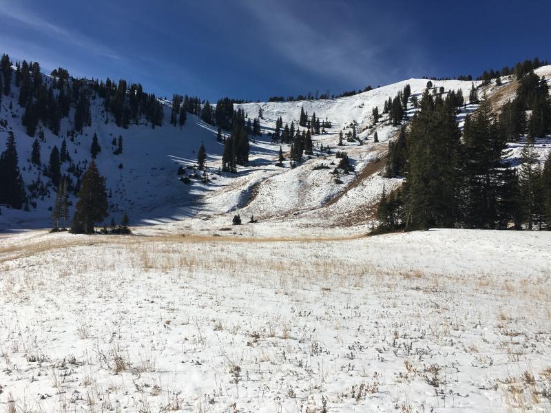
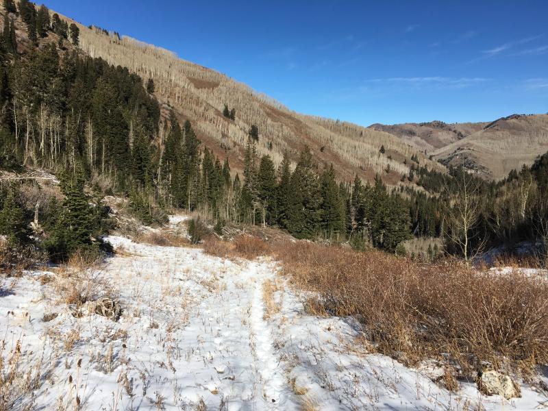
Trail run (not yet brave enough to put skis on) from Solitude up to West Bowl of Silver Fork to take a look at existing snow surfaces. Am finding coverage > 8500' on northeast through northwest, with snow preserved on upper elevation NE and NW aspects. The ~10 cms (4") of snow that fell over USAW weekend (Nov 4/5) has turned to very weak facets:
- At the lower elevations this faceted snow is sitting on top of bare ground.
- At mid elevations, the Sept/Oct snow had received some rain in certain areas, and is now a frozen crust capped with Nov 4/5 facets. This crust may connect some slopes, possibly allowing any future avalanching to break out widely.
- Northwest through northeast aspects at the upper elevations now hold up to 30 cms (1') of facets (likely more in places.) There are some temperature crusts within this thin snowpack, but they seem to be breaking down.
With possible snow later this week, these facets may create a significant weak layer with any load.
Videos of coverage in West Bowl of Silver Fork.
Video of faceted snow
Photos of West Bowl. Also showing solar aspects in mid-BCC. Despite the weak pre-existing snow, once we do get a significant storm, there will be plenty of aspects that will not have weak snow underneath.