Observation Date
5/18/2017
Observer Name
Tyler Falk
Region
Salt Lake
Location Name or Route
Mt. Timpanogos North Peak
Weather
Sky
Clear
Wind Speed
Calm
Weather Comments
Cold and clear early with clouds moving in later in the day. 8k temps toped out at 34 degrees. Clam winds up to the 10k ridgelines.
Snow Characteristics
New Snow Depth
4"
New Snow Density
Medium
Snow Surface Conditions
Powder
Dense Loose
Snow Characteristics Comments

The new snow settled down to 4" of moderate density snow at 9k. Some wind loading above 9k on north and northeast aspects. The sun got to most aspects including north down to 8k where you could make a snowball easily. Some graupel noticed in steeper areas where pooling occurs. Thin wind crust noticed in isolated locations. A few loose dry snow point releases. Still alot of snow on timp above 9k. The Timpanogos Divide snowtel year to date H2o is at 151%.

Red Flags
Red Flags
Rapid Warming
Red Flags Comments
Although not tons of new snow if we get warmer temps and sun on Saturday we might get more loose wet avalanches on steep south, east and west aspects. Saturday temps at Alta should reach 48 degrees.

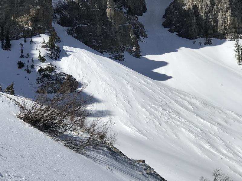
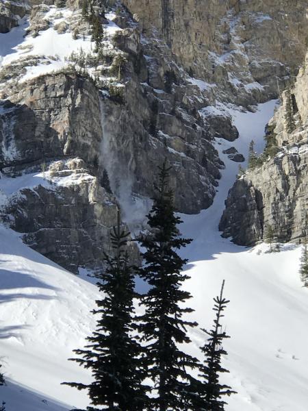
Pic 1. Old wet activity on the north side

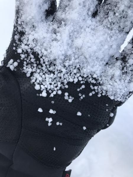
Pic 2. Graupel with in the new snow

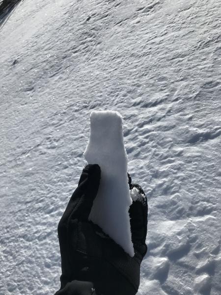
Pic.3 Thin wind crust on north aspects

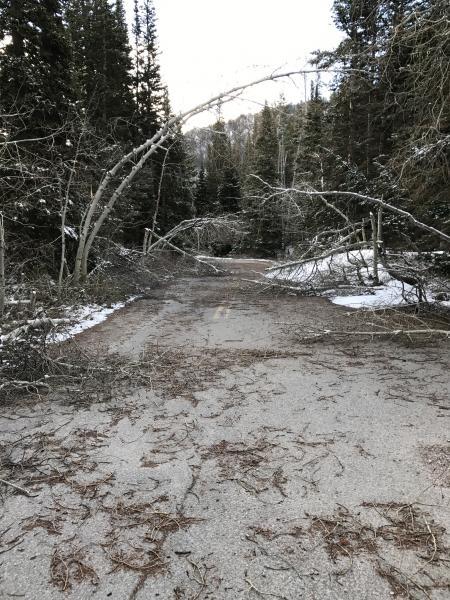
Pic. 4 Lots of downed trees from a big winter in the southern wastch

Pic 5. Loose dry snow

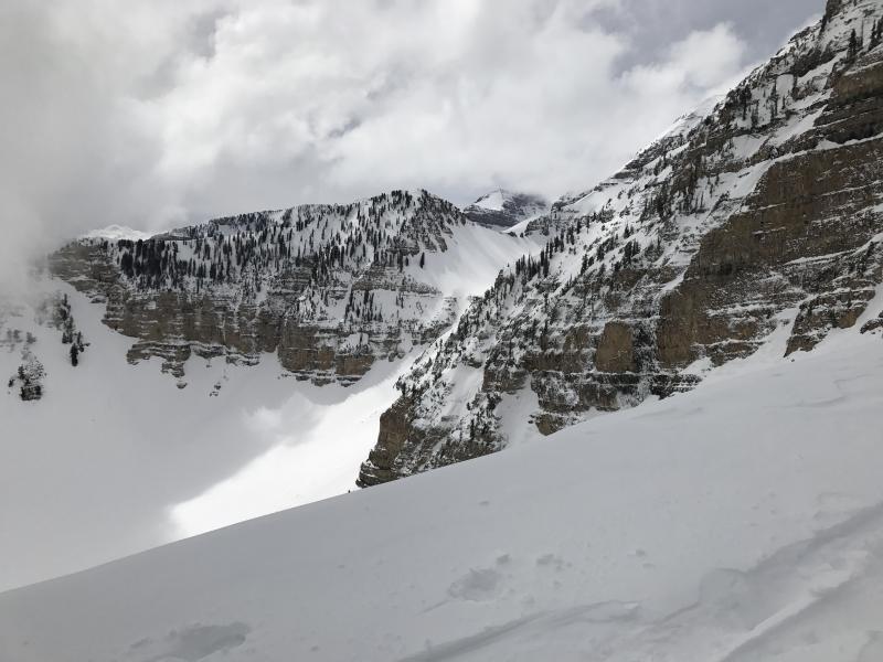
Pic. 6 Still good coverage in Pika Cirque, Timpanogos Basin and Upper Giant Staircase area.

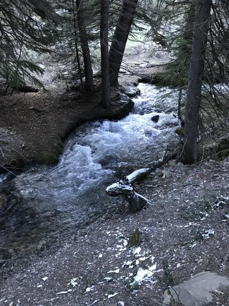
Pic 7. The spring runoff underway

Today's Observed Danger Rating
Low
Tomorrows Estimated Danger Rating
Low