Observation Date
4/28/2017
Observer Name
mark white
Region
Salt Lake » Park City Ridgeline » Monitors
Location Name or Route
Monitors
Comments
pbots s
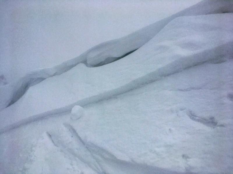
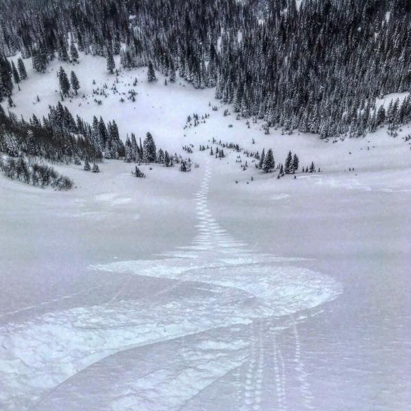
A trip to the Monitors today revealed a stable right side up snowpack, with last night low density snow resting on denser well bonded snow underneath. The only activity noted was shallow wind slabs right off the ridgeline but they where small in size and easily managed with ski cuts. Cold temps kept all aspect dry throughout the day. I would expect dry snow on all aspects above 9000ft in the AM. Things might get interesting if things heat up rapidly, there's lots of new snow and water weight in the upper 3 feet of snow right now and rapid change in temperatures will exacerbate activity
Photos: shallow wind slab in S Monitor, and dry spring powder
Today's Observed Danger Rating
Moderate
Tomorrows Estimated Danger Rating
Moderate


