Planned Website Outage: The UAC website will be down for maintenance on June 17 from 2:00 - 7:00 PM MT.

Observation: White Pine

Observation Date
4/10/2017
Observer Name
Kyle Van Peursem and Jim Steenburgh
Region
Salt Lake » Little Cottonwood Canyon » White Pine
Location Name or Route
White Pine
Weather
Sky
Scattered
Weather Comments
Cold morning, temps in the teens at the TH at 6:45 and in the low 20's at about 9.5k ft. Began to warm up after 10 am. Some high clouds limited the amount of solar radiation at the surface as the sun peaked over the mountains
Snow Characteristics
New Snow Depth
12"
New Snow Density
Low
Snow Surface Conditions
Powder
Wind Crust
Melt-Freeze Crust
Snow Characteristics Comments
A thick but unsupportable crust on the surface in most exposed locations up to nearly 10k ft. Softer snow in the trees. Steep above tree line north facing slopes did not seem to be affected by yesterday afternoon's sun and had soft powder at the surface.
Red Flags
Red Flags
Recent Avalanches
Wind Loading
Rapid Warming
Red Flags Comments
Recent natural wet loose point releases and natural and human triggered D1 sized dry loose avalanches
Avalanche Problem #1
Problem
New Snow
Trend
Decreasing Danger
Problem #1 Comments
Saw several human triggered loose dry sluffs on steep northerly slopes on Lake Peak but did not entrain enough snow to pose much of an issue
Avalanche Problem #2
Problem
Wet Snow
Trend
Increasing Danger
Problem #2 Comments
A few small point releases at the bottom of cliff bands yesterday, nothing when we were up there but we left by 11 am. I would expect numerous loose wet slides this afternoon
Comments
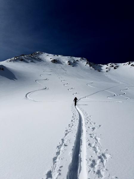
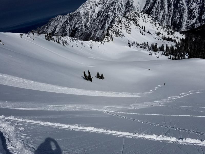
Small skier triggered loose dry avalanche on north facing slope off of Lake Peak
This skier triggered a loose dry avalanche as he descended down the ridgeline just east of Lake Peak
Today's Observed Danger Rating
Moderate
Tomorrows Estimated Danger Rating
Moderate
Coordinates