Planned Website Outage: The UAC website will be down for maintenance on June 17 from 2:00 - 7:00 PM MT.

Observation: Logan

Observation Date
4/9/2017
Observer Name
Pagnucco
Region
Logan
Location Name or Route
Beaver Mt Backside SE and N
Weather
Sky
Obscured
Precipitation
Light Snowfall
Wind Direction
Northwest
Wind Speed
Moderate
Weather Comments
Cold, blustery day until about 4pm. Sun poked through a few times but mostly cloudy day.
Snow Characteristics
New Snow Depth
7"
New Snow Density
Medium
Snow Surface Conditions
Powder
Snow Characteristics Comments

Snow depth and density was variable depending on aspect and exposure to wind. Mid elevation low angle slopes skied well, avoiding the buried crust which was sometimes breakable and catchy.

Despite the cold night the new snow was still medium density. I imagine it was lighter up higher. Found some newly formed small cornices that were sensitive to ski cuts.

Red Flags
Red Flags
Wind Loading
Poor Snowpack Structure
Red Flags Comments
Only real red flag was poor structure There is wet unconsolidated snow under the breakable crust. Avalanches over the weekend were failing below the crust.
Avalanche Problem #1
Problem
Wind Drifted Snow
Trend
Increasing Danger
Problem #1 Comments

Still very windy today so wind slab danger was still increasing.

Comments

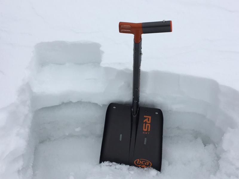
I would expect any storm snow instabilities to heal quickly but wind slab danger may linger for a day or two in high elevation exposed terrain.

Today's Observed Danger Rating
Moderate
Tomorrows Estimated Danger Rating
Moderate