Observation Date
4/4/2017
Observer Name
Hardesty, Ward
Region
Salt Lake
Location Name or Route
Alta/Days/Mill D North/Soldier/Mill Creek
Comments
In the coming days, I would expect both loose wet and dry avalanches (weakening surface snow on crusts) on the sunny and sheltered aspects, but neither really have enough snow to warrant more than a slight mention.
Video
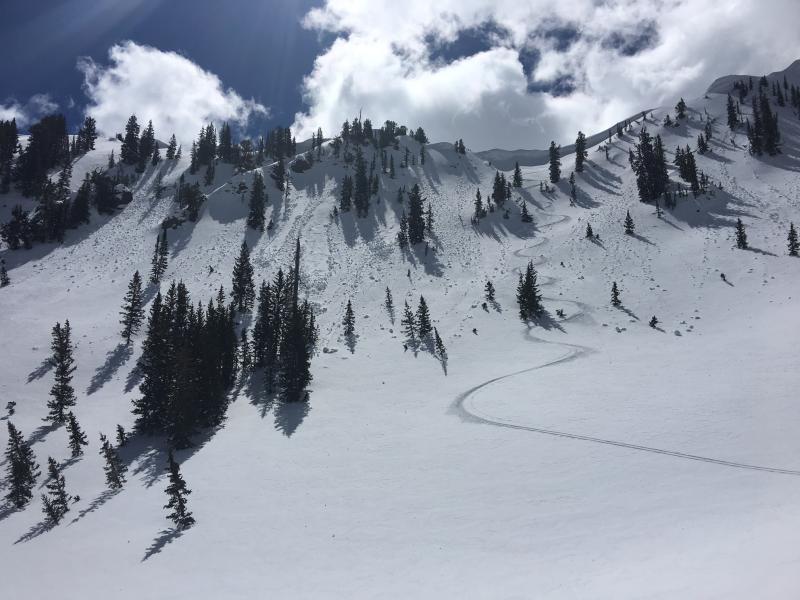
High northerly terrain has a couple cm of snow above a couple cm wind crust which in turn sits above another few cm of faceted snow above a more stout temperature crust. Sheltered northerlies are similar but lack the wind crust. In general we found a few inches of soft, turnable conditions above a supportable crust from high northerly Days Fork all the way into Mill Creek.
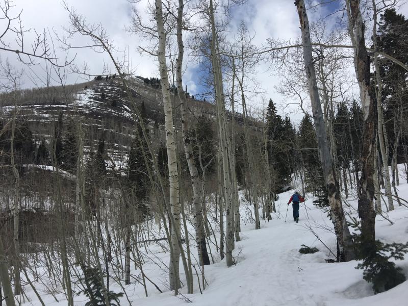
Lower elevations are taking a hit with the relatively dry March and the harsh March melt-off.
We exited Soldier Fork and remained on snow all (but for 50meters) the way to the MCC gate
Today's Observed Danger Rating
Low
Tomorrows Estimated Danger Rating
Low
Coordinates


