Observation: Mt Holly

Observation Date
3/26/2017
Observer Name
Toddeo
Region
Southwest » Tushers » Mt Holly
Location Name or Route
Tushers - Mount Holly
Weather
Sky
Scattered
Wind Direction
North
Wind Speed
Moderate
Weather Comments
Warm day down low but the north wind kept the alpine on the cool side, snow did not soften.
Snow Characteristics
New Snow Depth
1"
New Snow Density
Low
Snow Surface Conditions
Powder
Dense Loose
Wind Crust
Melt-Freeze Crust
Damp
Snow Characteristics Comments

Mixed bag, only about 1" of snow overnight. The alpine consisted of scoured crusts and wind pack with areas of dense drifted snow, Not powder, see photo below.

Damp snow in mid elevation areas. Many areas of breakable crust from Friday afternoons warm-up.

A slight warm-up/softening of the snow while descending a wind protected SE shot of Mount Holly at 12.30.

Red Flags
Red Flags
Rapid Warming
Red Flags Comments
Rapid warming in mid-elavations is as close as I came to red flags today.
Avalanche Problem #1
Problem
Wet Snow
Problem #1 Comments

Wet Slabs below treeline, this was likely reduced as the clouds came in early afternoon.

Comments

No snow profile, very variable in the alpine, many alpine areas would have required a chainsaw to dig a snow pit.
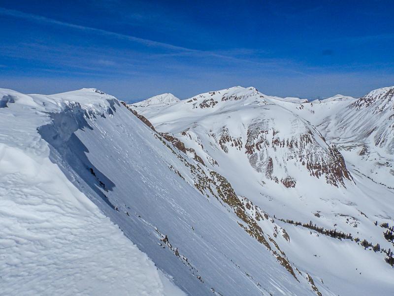
Photo below:

NE aspect at 12,000', this did not soften due to the N wind, did not ski it because of firm snow.

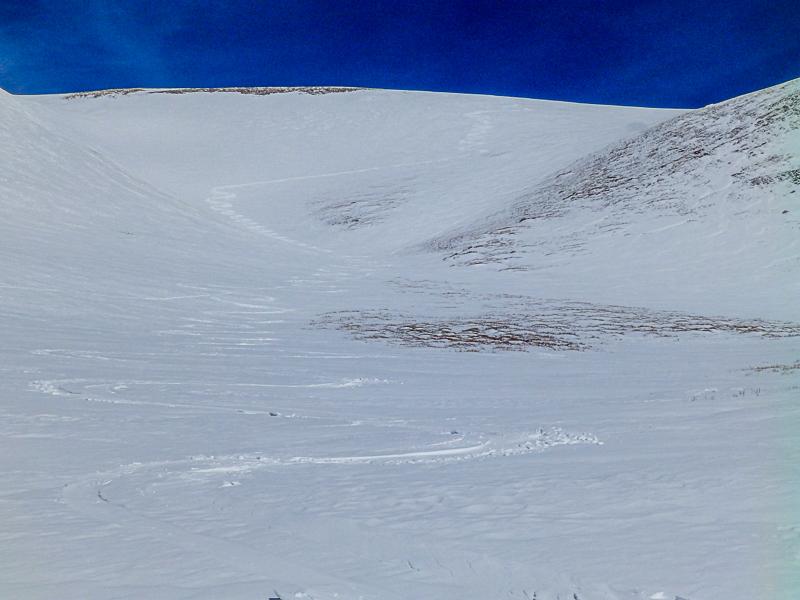
Photo below: Not Powder, The lower turns were slightly soft in places but not enough to improve the skiing.

Overall a low danger today, I would assume an increase in hazard with forecasted snow.

Today's Observed Danger Rating
Low
Tomorrows Estimated Danger Rating
Moderate