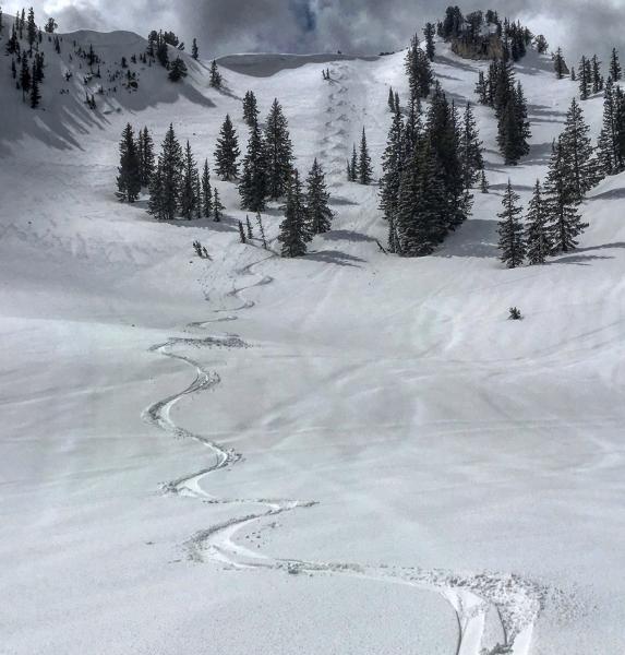
Started at the Alta Guard Station and walked up to Cardiff Pass, over the top of Cardiff Peak and skied a few runs on the N facing into Cardiff Fork. At the bottom around 8600ft the snow was completely saturated with the new snow dissolving into the saturated snow below, once up to about 9500ft the underlying snow was more supportable on skis but just on boots you would punch through into the damp snow pack. Above 10'000ft there was 4 or 5 inches of graupel sitting on supportable but still saturated snow. The new snow was well bonded to the old damp surface and I could only get roller balling with ski cuts on steeper slopes. With this new coat of dense wet snow insulating an already saturated snow pack its gonna take some time for the heat to escape the snow pack even if the temps get cold tonight. The sun broke out for only a few minutes during the day but when it did the heat was intense and the W facing immediately started to point release and roller ball. Two concerns for tomorrow might be wind slabs on the lee side of ridges and continued wet activity while we wait for the snow pack to cool down.
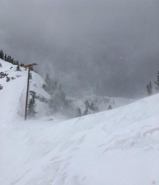
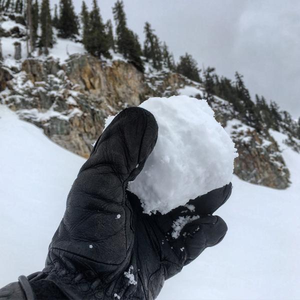
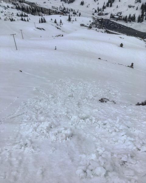
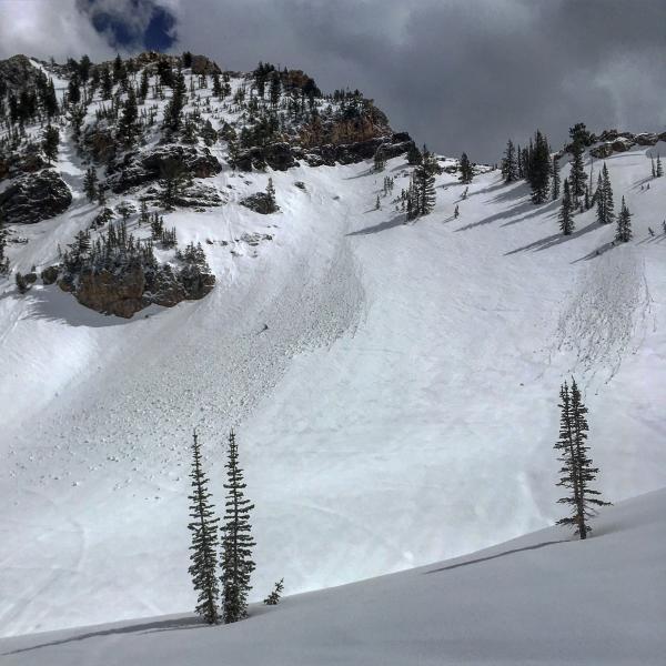
Photos: Wind moving snow on the high ridge lines, snowballs were easy to make even above 10'000ft, ski cut roller balls on steep south facing terrain, wet activity an the W facing starting immediately after a few moments of sun, not the best skiing but not the worst on the high N facing