Observation Date
3/11/2017
Observer Name
Zimmerman Wall
Region
Salt Lake » Little Cottonwood Canyon
Location Name or Route
South Facing Little Cottonwood Canyon
Weather
Sky
Scattered
Wind Direction
Southwest
Wind Speed
Calm
Weather Comments
Warm from the start and convective clouds began forming by 10:30. Calm to light wind mainly out of a westerly direction. Intense solar radiation and as the afternoon wore on, the high thin clouds became thicker and the sky cover trended to Broken. The heat seemed inescapable during the main portion of the afternoon until 15:30 when the skies clouded over and although still warm, the decreased solar was welcome.
Snow Characteristics
Snow Surface Conditions
Damp
Snow Characteristics Comments
Everything 10,000 feet and below on solar aspect became a hot mess by Noon. On low angle slopes you were able to post hole to your knees in places and steep slopes showed signs of trenched ski turns and rampant old wet slide debris. Snow surface and upper 10 cms of damp four finger mush was quite cohesive and would sluff with hard provocation. The lower mid elevation snow is mostly moist grains, but some drier and rounded course grains were noted down 60cm.
Red Flags
Red Flags
Recent Avalanches
Rapid Warming
Red Flags Comments
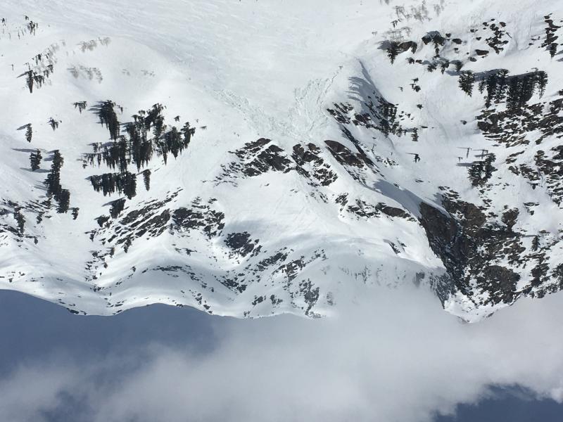
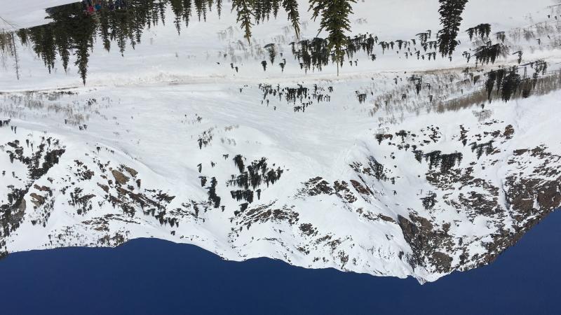
Natural wet avalanches were occurring on steep South facing slopes starting at 12:00. The upper Hellgate bowl had mutliple large wet loose avalanches come down and overrun the cliffs in spectacular fashion. Other smaller wet loose avalanches were noted above 10,000 feet on SE facing Superior. Many skiers and mountain travelers were out on those precipitous slopes today between 11:00 and 16:30, but no noted skier triggered slides occurred.. The travel behaviors of mountaineers, skiers/boarders, and even speed flyers over this crowed swath of mountainous real estate was quite interesting to observe. On the drive down the canyon at 17:00, multiple seemingly fresh piles of wet avalanche debris were noted on the aprons of Little Pine, and most remarkably on Little Pine East.
Avalanche Problem #1
Problem
Wet Snow
Trend
Increasing Danger
Problem #1 Comments
Easily observed from 12:00 to 2:00 pm on steep slopes. Lots of wet avalanche debris on E, S, and SW aspects. I believe we may have seen the worst of this loose wet issue. But with continued nights of high cloud and above or very near freezing temps, the danger could potentially rise for wet slab avalanche activity. There are several buried crusts that may act as good bed surfaces with the aforementioned course grains just below.
Avalanche Problem #2
Problem
Cornice
Trend
Increasing Danger
Problem #2 Comments
Cornices are large, have likely lost a great deal of strength, and will be regarded as highly suspect until the temp dramatically cools or they fail catastrophically and are no longer present on the ridgeline. I am hoping the latter happens when no one is around. It would be nice to get some of these phantasms out of the field and makes us feel a little better lingering in certain terrain features we would like to ski.
Comments
Photos:
1. Superior and convective clouds during mid morning. Several parties visible spread out all over South face.
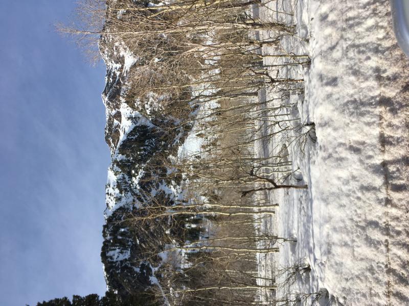
3. Mid afternoon brief clearing before clouds rolled back in for a couple of hours.
2. Wet debris in Little Pine area through the trees.
Today's Observed Danger Rating
Considerable
Tomorrows Estimated Danger Rating
Moderate