
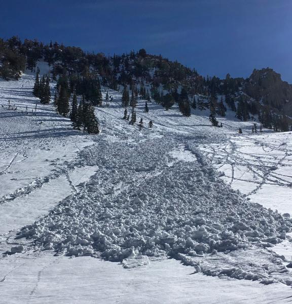
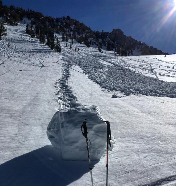
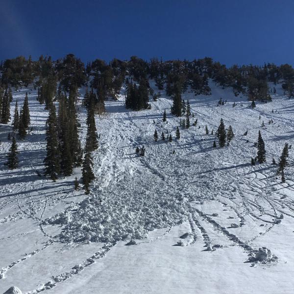
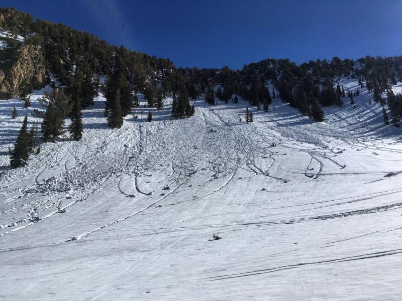
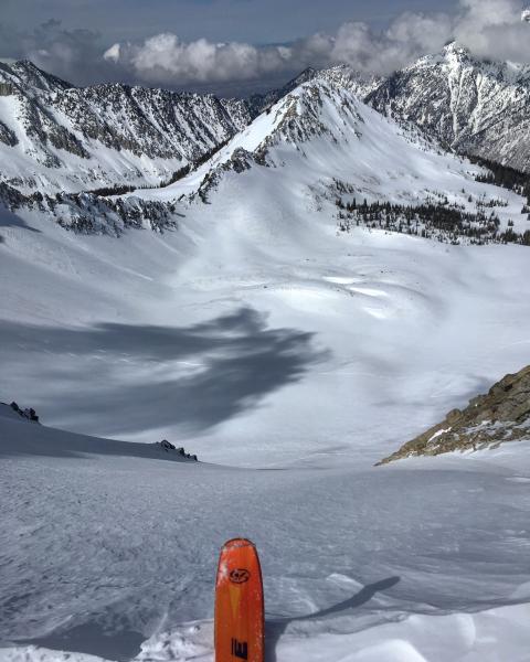
The search for dry snow again lead me to the high N aspects of White Baldy and the high N facing in the back of Maybird, and below the Pfeifferhorn. Not too sure about any reports of corn snow, maybe at lower elevations but the south facing on the ridge to the Pfeiff is what I'd call premature corn it hasn't had enough clear cold nights and warm clear days to bake it down and make it isothermic yet, same goes for E and W at that elevation, breakable crust straight to mush at best. Corn snow is not a form of slush. It consists of frozen mostly dry ice crystals that when skied at the right time is carvy and supportable not wet and mushy. E facing was softening around 10:00am, W facing around 2:00pm not sure on S facing but it had already gone off by 11:00am when we hit the backside of the Pfeiff. Clear cold nights is also what's required to break down the wind crust on the high N facing through recrystalization, and the process has started but is slower than usual due to a few cloudy nights inhibiting the process. There also is some bullet proof snow right off the tops of the high ridge lines on the N facing that could lead to slide for life conditions if not paid proper attention to. Looks like most of the steep S facing paths in LCC have already produced wet slides and the debris piles have not helped the S facing runs.
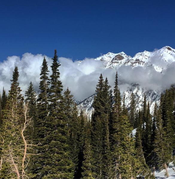
Photos: Wet activity mainly on W facing in Red Pine Gulch, bullet proof in the top high N facing, low lying clouds rolling in.
Low in the AM but with slide for life conditions, moderate in the PM for wet activity


