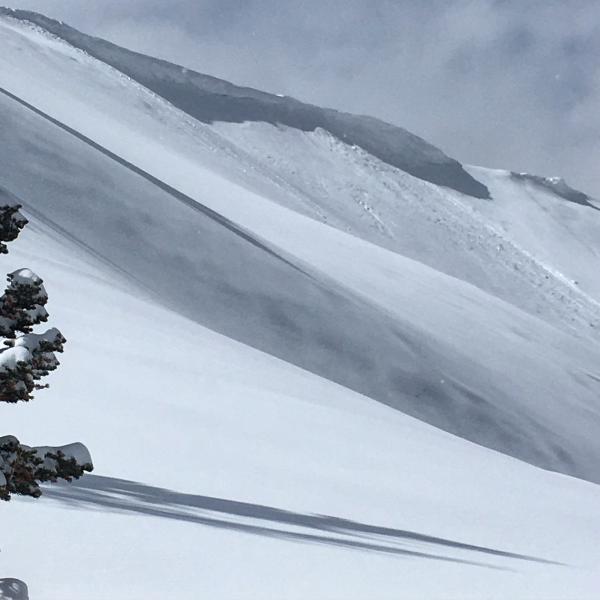
Went up to the Monitors hopping that they weren't wind jacked from the winds yesterday and last night, I wasn't very hopeful because of the long duration of wind and the continued wind blowing throughout the day, but was pleasantly surprised that the the main faces of the Monitors were not wind jacked, maybe a little wind loaded but when we ventured onto the main faces we discovered that there was no slab just light density powder sitting on the old snow surface. The new snow came in damp and was well bonded to the old surface on all aspects, the steep S facing terrain with a hard bed surface might be the exception to rule, a hard wind slab on a steep S facing slope might surprise someone tomorrow. The snow did change during the day with the light density from the early afternoon being thickened up by the non stop wind, and showing sighs of slabbing up by the end of the day. Not a whole lot happening in the new snow in the terrain covered, no density inversions or shears in the new snow except were the surface was wind affected.
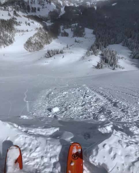
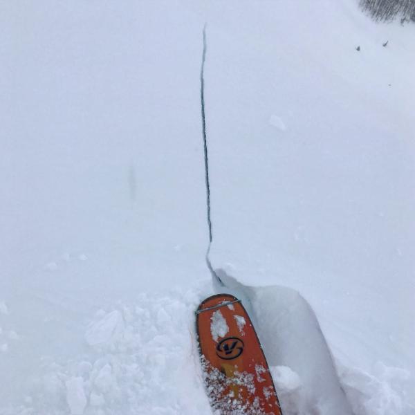
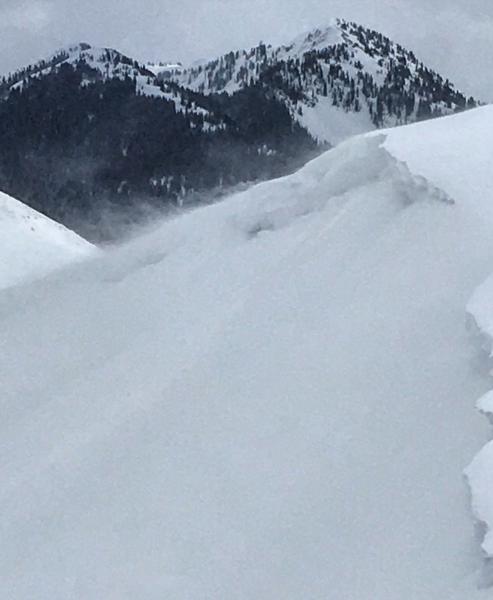
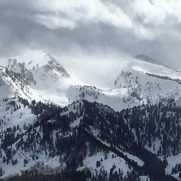
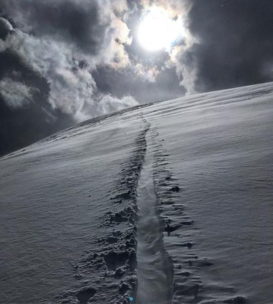
Photos: cornice drop in West Monitor producing no results, cracking in the wind affected snow on the high ridge line, wind loading in S Monitor, wind loading in Wolverine Cirque, looked like the wind was hammering LCC harder than our location, soft slab in W Monitor from a natural cornice drop, wind filling in the up track as fast as you could break it.
Hazard depends on the wind, it was still blasting out of the SW when we left at 5:00pm, for that matter so does skiing quality.


