Observation Date
3/6/2017
Observer Name
Toddeo
Region
Southwest » Pahvant Range » Maple Hollow
Location Name or Route
Pahvants - Maple Hollow
Weather
Sky
Broken
Wind Direction
Southwest
Wind Speed
Strong
Weather Comments
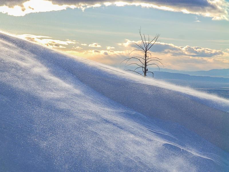
Strong winds on the ridge tops, lots of snow moving around.
Snow Characteristics
New Snow Depth
8"
New Snow Density
Medium
Snow Surface Conditions
Powder
Wind Crust
Damp
Snow Characteristics Comments
HST - 8" at 8.000'. Snowtel sites at higher elevations showed about a foot overnight.
Damp snow at the 6,400' trailhead, about 6" new here.
Red Flags
Red Flags
Wind Loading
Cracking
Red Flags Comments
Lots of transport along the ridge lines. Some cracking, none of it shooting very far. Cornices were sensitive this afternoon.
Avalanche Problem #1
Problem
Wind Drifted Snow
Trend
Same
Problem #1 Comments
Wind slabs were my primary concern, although everything seemed to stay in place. I tried cutting a few drifts up to 2" deep with no results this surprised me. I felt the need to watch my slope angles and sneak off of the ridge into sheltered terrain.
Newly formed cornices were sensitive.
Considerable hazard in wind loaded areas.
Avalanche Problem #2
Problem
Wet Snow
Trend
Increasing Danger
Problem #2 Comments
This will increase from low today to likely moderate if it warms up as forecast, more of a future hazard than today.
Snow Profile
Aspect
North
Elevation
8,000'
Slope Angle
35°
Comments
No profile picture. HST-8" with 14-16 sitting on the old snow surface. ECTN in this area.
Also, I tried some shear testing where the new snow is sitting on the crust, seemed well bonded, no shears.
Photos:
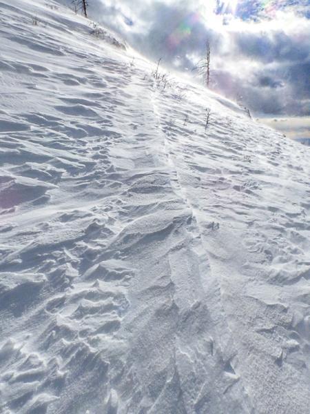
1. This track was a trench on Friday.
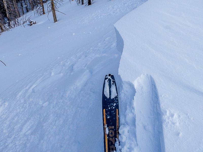
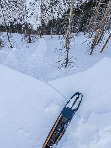
2 - 4: sensitive cornices
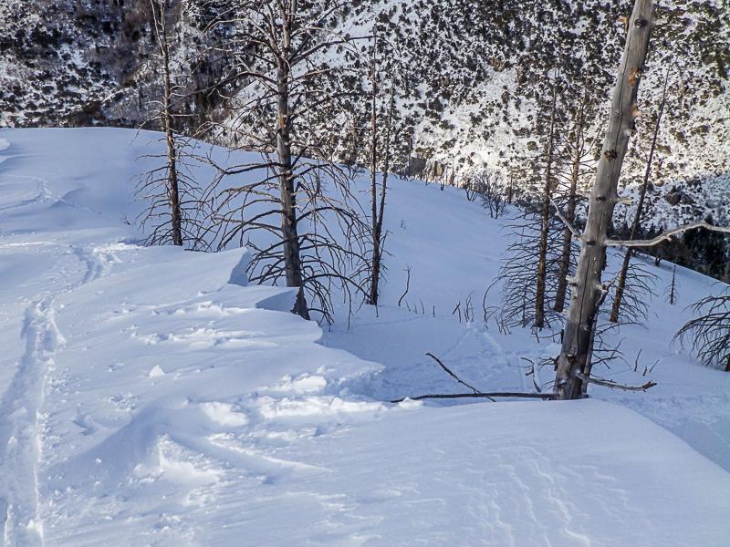
5- Wind transport.
Overall I would say considerable hazard in wind loaded areas. Moderate in wind sheltered areas below 8,000'. I was able to ski 40 degree slopes in wind sheltered areas lower elevation areas..
Today's Observed Danger Rating
Considerable
Tomorrows Estimated Danger Rating
Considerable