Join us at our 2nd Annual Blizzard Ball

Observation: South Willow Creek

Observation Date
3/3/2017
Observer Name
Darce Trotter / Steve Cote
Region
Skyline » Willow Creek Ephriam » South Fork Willow Creek
Location Name or Route
South Willow Creek
Weather
Sky
Clear
Wind Direction
Southwest
Wind Speed
Light
Weather Comments
Things really warmed up today, even more than yesterday, but sun angle is still cutting us a little slack even though it is March, we stuck to N facing area 10,000' interspersed with large firs, way warm in the sun, rollers observed on south facing slopes across canyon from us, breakable crust in flats had softened to turnable late afternoon on exit.
Snow Characteristics
Snow Surface Conditions
Powder
Snow Characteristics Comments

still able to find excellent settled snow on N facing sheltered slopes, faceting apparent, and some areas of large surface hoar although not widespread, did make for some loud powder turns today. Heat is getting to sun exposed flats, W/S/E slopes and forming crusts. We continue to enjoy a stable snowpack, and concerns shift to faceted snow on surface, ahead of next storm when it comes

Red Flags
Red Flags
Recent Avalanches
Wind Loading
Red Flags Comments
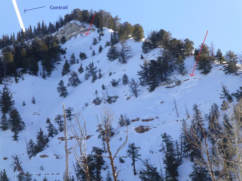
we did find evidence of activity both prior to last storm, with cornice drops initiating wind slabs, some covered by the last lower density snow, and in some extreme steep rocky terrain with shallow snowpack, activity noted in last storm
Avalanche Problem #1
Problem
Cornice
Trend
Same
Problem #1 Comments

Cornices in places we have never seen them before, some very big, and while starting to get old now, still not to be trusted

Avalanche Problem #2
Problem
Wet Snow
Trend
Same
Problem #2 Comments

heating on new snow did promote some rollers and even small wet slides south facing steep slopes, with continued heating, would expect that to continue, but easily managed by getting off or from underneath before max heating for the day.

Snow Profile
Aspect
North
Slope Angle
35°
Comments

see video

Video

recent activity during last storm in very steep rock terrain, that likely sluffs a lot of snow anyway, but crowns apparent

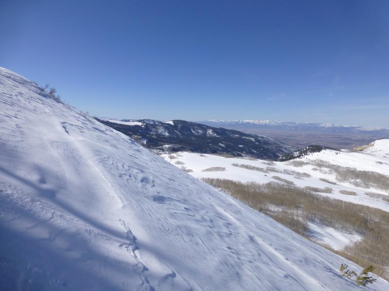
Wind damage on shoulder

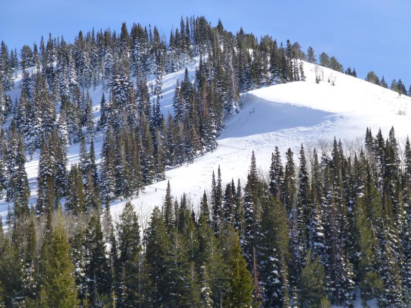
terrain we got into today

Today's Observed Danger Rating
Low
Tomorrows Estimated Danger Rating
Low
Coordinates