Planned Website Outage: The UAC website will be down for maintenance on June 17 from 2:00 - 7:00 PM MT.

Observation: Mt Aire

Observation Date
2/24/2017
Observer Name
Tyler Falk
Region
Salt Lake » Parleys Canyon » Mt Aire
Location Name or Route
Mt. Aire
Weather
Sky
Overcast
Precipitation
Moderate Snowfall
Wind Direction
West
Wind Speed
Light
Weather Comments
Cold this morning at lower elevations which toped out in the low 20' by the afternoon. Moderate snow this morning tapered off and gave way to clear skys by mid day. In the lower elevation terrain I traveled winds were generly light but exposed ridgelines saw some transport of snow from the west winds.
Snow Characteristics
New Snow Depth
6"
New Snow Density
Low
Snow Surface Conditions
Powder
Snow Characteristics Comments

Around 15cm of low density powder capped off our storm snow. Total for the storm was around 76cm at 8k on north aspects. The height of snow at these elevations has taken a hit even with the help of this large storm. Only around 160cm in most locations at 8k, with wet grains below our most recent M/F crust. The storm snow has not settled much in the last 48 hours due to continual snow showers and lack of sun. Ski penetration should go down tomorrow. Sluffs were still running long distances. Cornices were very sensitive but failed to give any result when they were tested on East aspects.

Red Flags
Red Flags
Recent Avalanches
Heavy Snowfall
Wind Loading
Red Flags Comments
Although not a huge natural cycle some paths did slide. (Superior, Pockets in Days, Little Pine??) Up to 4'' of H2o since Tuesday in favored lacations. Some wind loading durring difrent phases of the storm which buried windslabs on east aspects and are likely forming new windslabs overnight. The cottonwoods forecast is calling for gusts on 11k ridgelines tonight to be 30 and up to 35mph tomorrow blowing from the W and WSW. That is certanly enough to move alot of our new storm snow around and create new windslabs.
Avalanche Problem #1
Problem
Wind Drifted Snow
Trend
Increasing Danger
Problem #1 Comments

For tomorrow wind slabs would be my number one concern. Wind observations from the ten oclock hour on Mt. Baldy are only gusting in the teens but around mid day they were blowing in the mid 30's from the West and Northwest. These windslabs could possibility step down and take all the storm snow with it. That could make for a very unmanageable avalanche likely up to four feet deep.

Comments

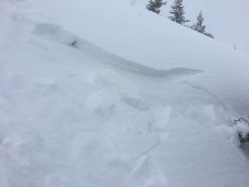
Pic 1. Shallow 12cm deep windslab in crossloaded feature.

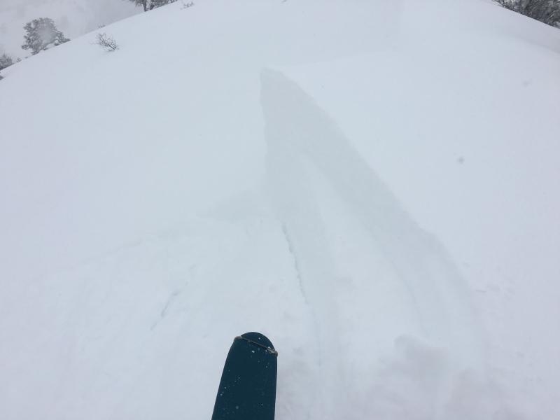
Pic. 2. Sensitive cornices with no result from release

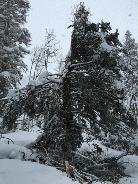
Pic. 3. Evedience of strong winds from Tuesday

Today's Observed Danger Rating
Moderate
Tomorrows Estimated Danger Rating
Moderate