Observation Date
2/23/2017
Observer Name
Greg Gagne
Region
Salt Lake » Big Cottonwood Canyon » Butler Fork
Location Name or Route
Butler Fork
Comments
Video (taken by Shane Froebe) showing weakness within storm snow down 45 cms (18")
Video
Video showing sensitive fresh wind drifts.
Video
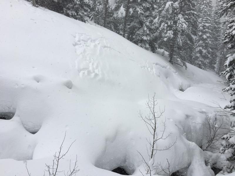
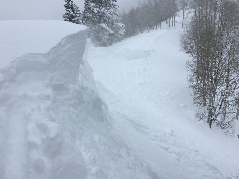
Photos of
- natural activity (likely earlier during the day on Thursday)
- soft slabs from cornice kicks
Today's Observed Danger Rating
Considerable
Tomorrows Estimated Danger Rating
Considerable