Planned Website Outage: The UAC website will be down for maintenance on June 17 from 2:00 - 7:00 PM MT.

Observation: Snowbasin Backcountry

Observation Date
2/21/2017
Observer Name
Hardesty, Fletcher
Region
Ogden » Snowbasin Backcountry
Location Name or Route
Snowbasin Periphery
Weather
Sky
Few
Wind Direction
Southwest
Wind Speed
Strong
Weather Comments
Warm; strong southwest winds. Precipitation began roughly 1600 hours as rain at the base; r/s unknown
Snow Characteristics
Snow Surface Conditions
Damp
Snow Characteristics Comments

Damp; light rain/mist reported Monday night into Tuesday to upper elevations...snow surface warm, damp.

Red Flags
Red Flags
Recent Avalanches
Wind Loading
Red Flags Comments
Cornice induced naturals 2 to 4 feet deep reported Monday (2 to 3 reported); another in the Banana Chute found today north facing 9500' all in out of bounds terrain. Banana Chute 2' deep and 75' wide likely Monday into Monday night timeframe.
Avalanche Problem #1
Problem
Wind Drifted Snow
Trend
Same
Problem #1 Comments

see Toby Weed's report from Providence canyon from today.

Avalanche Problem #2
Problem
Cornice
Trend
Same
Problem #2 Comments

As reported above; cornice induced wind slabs active over last two days.

Snow Profile
Aspect
East
Elevation
9,100'
Slope Angle
25°
Comments

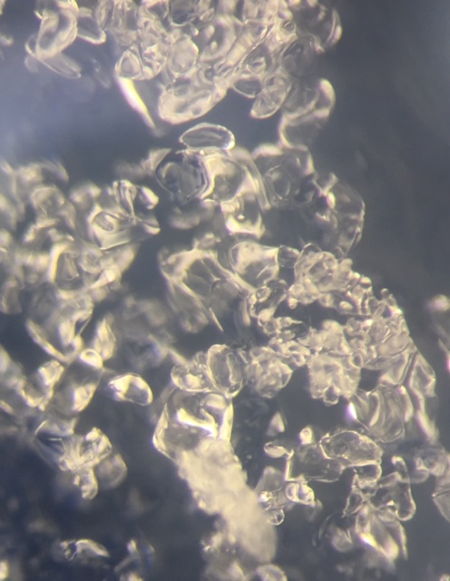
Note rounding damp facets in photo - these facets weakest an inch or two above the Feb 10 rain crust. Still, not much energy along with moderate to hard test scores. No propagation.

Video

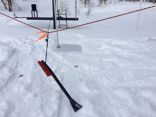
As noted by Jim Steenburgh in a Wasatch Weather Weenie post from the other day -

Let's hope that storm and interval stakes are cleared by the "brushy" side instead of the scraper

Cornices, hard wind slabs of concern though feel that the wind slabs should be quickly healing with the warm weather and subsequent sintering of snow layers. Old healing facets above the crust suspected to be activated with significant loading; otherwise new snow should bond well to old surfaces; just a matter of precipitation intensity and accompanying winds.

Today's Observed Danger Rating
Considerable
Tomorrows Estimated Danger Rating
None