Observation: Moab

Observation Date
2/9/2017
Observer Name
Dave Garcia
Region
Moab
Location Name or Route
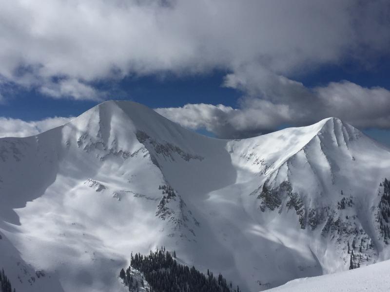
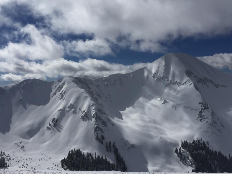
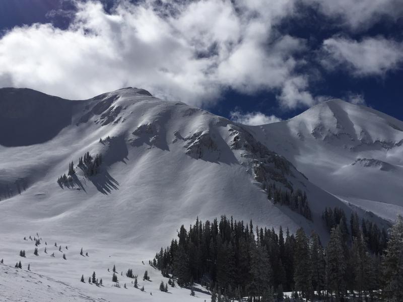
Mt. Peale SE Face
Weather
Sky
Scattered
Wind Direction
West
Wind Speed
Moderate
Weather Comments
Warm day in the mountains, temps at 10,000 ft in the mid 40's, Pre Laurel Station at 11,700 showing a high of 32 F. Mostly sunny with scattered clouds. Winds were moderate out of the west at mid and high elevations with strong gusts on the ridge lines. Today's weather was basically a repeat of yesterday with slightly warmer temps.
Snow Characteristics
Snow Surface Conditions
Wind Crust
Melt-Freeze Crust
Snow Characteristics Comments
There was a mini corn cycle over yesterday and today, but the window was short and you had to catch it just right. Below 11,000 feet was good skiing yesterday (Wed), but I got reports that today (Thur) South and West aspects were total slop below about 11,300. Temperatures sky rocketed and it's all about working the aspects and elevations. Yesterday I was also finding good snow on upper elevation NW facing slopes. With today's warm temps you needed to be up very high to find decent corn. We found good corn skiing on SE aspects above 11,000 ft.
Avalanche Problem #1
Problem
Wind Drifted Snow
Trend
Same
Problem #1 Comments
In my travels Wednesday I noticed fresh wind drifts on North and East Facing slopes at mid and upper elevation. With only an inch of snow reported on Tuesday night I was kind of surprised by this. Check out the photos below and you'll see the fresh drifts. These faces are definitely looking more pillowy and rounded than they were when I was out skiing Monday. Also today we avoided an obviously cross loaded gully on a SE aspect that had been loaded by previous winds from the west and south west. The weather has been nice and things are relatively stable, so people might be poking around the high peaks and maybe getting into North and East faces up there. Be on the lookout for fresh drifts on these slopes.
Avalanche Problem #2
Problem
Wet Snow
Trend
Decreasing Danger
Problem #2 Comments
I noticed roller balls coming off mid and low elevation west facing slopes while skiing out of Gold Basin late Wednesday afternoon. If you happened to find yourself on W or S late in the day today I'm sure you skied through some slop. Loose wet activity was definitely a concern today on sun exposed slopes, mainly West through South. Today on upper elevation slopes facing SE, the snow did not become wet until about 10,700 and below. Looks like we should get a refreeze tonight and clouds tomorrow, so wet activity should be less of a concern.
Fresh wind drifts on N and E aspects.
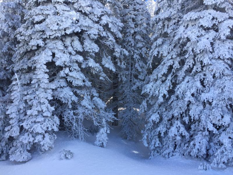
Tuesday night's "storm" gave us an inch of snow, and a bunch of rime as seen here.
Today's Observed Danger Rating
Moderate
Tomorrows Estimated Danger Rating
Moderate